Jebel Jais Flight & Sky Tour
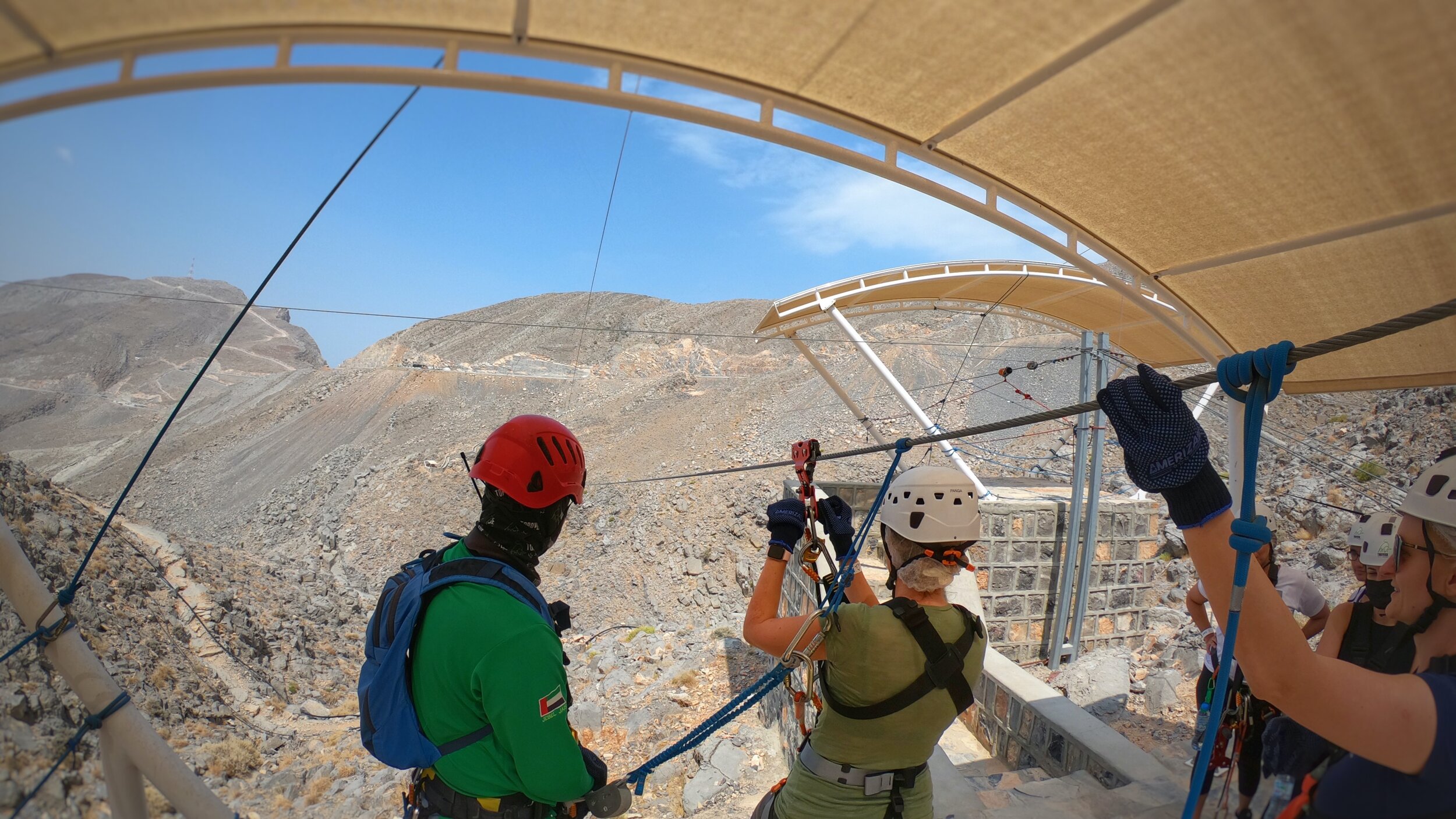
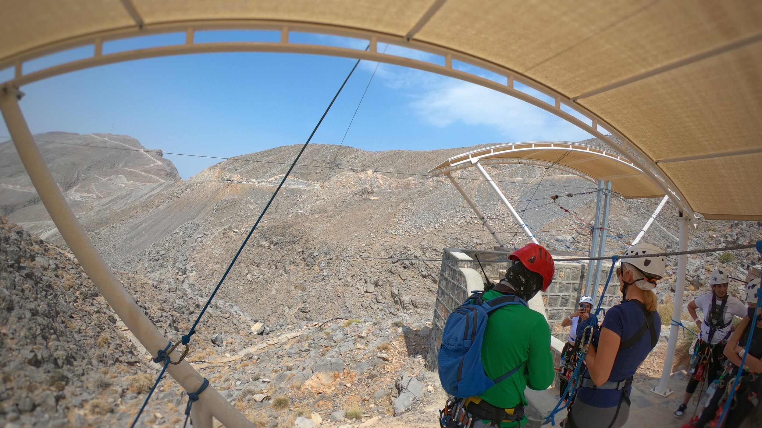
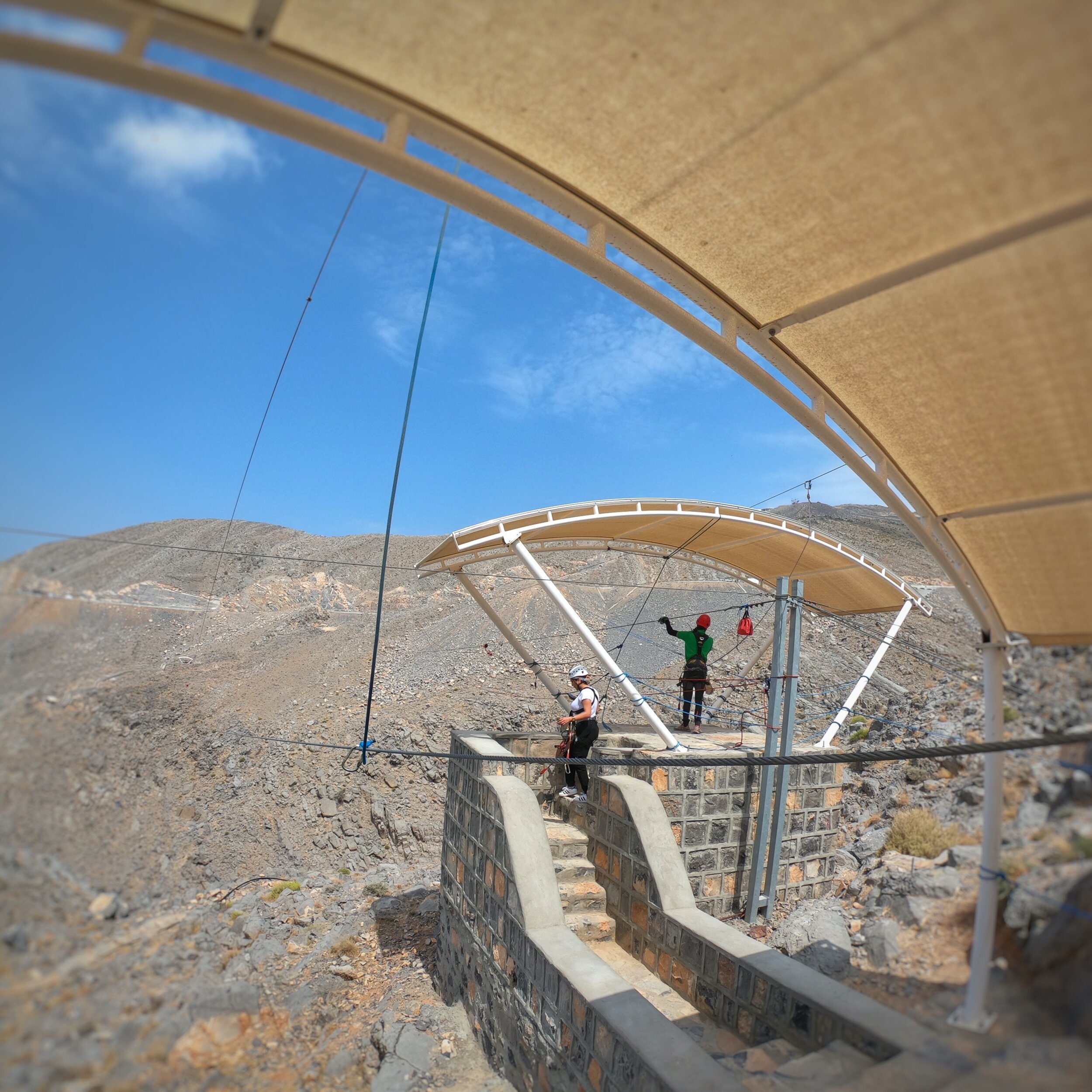
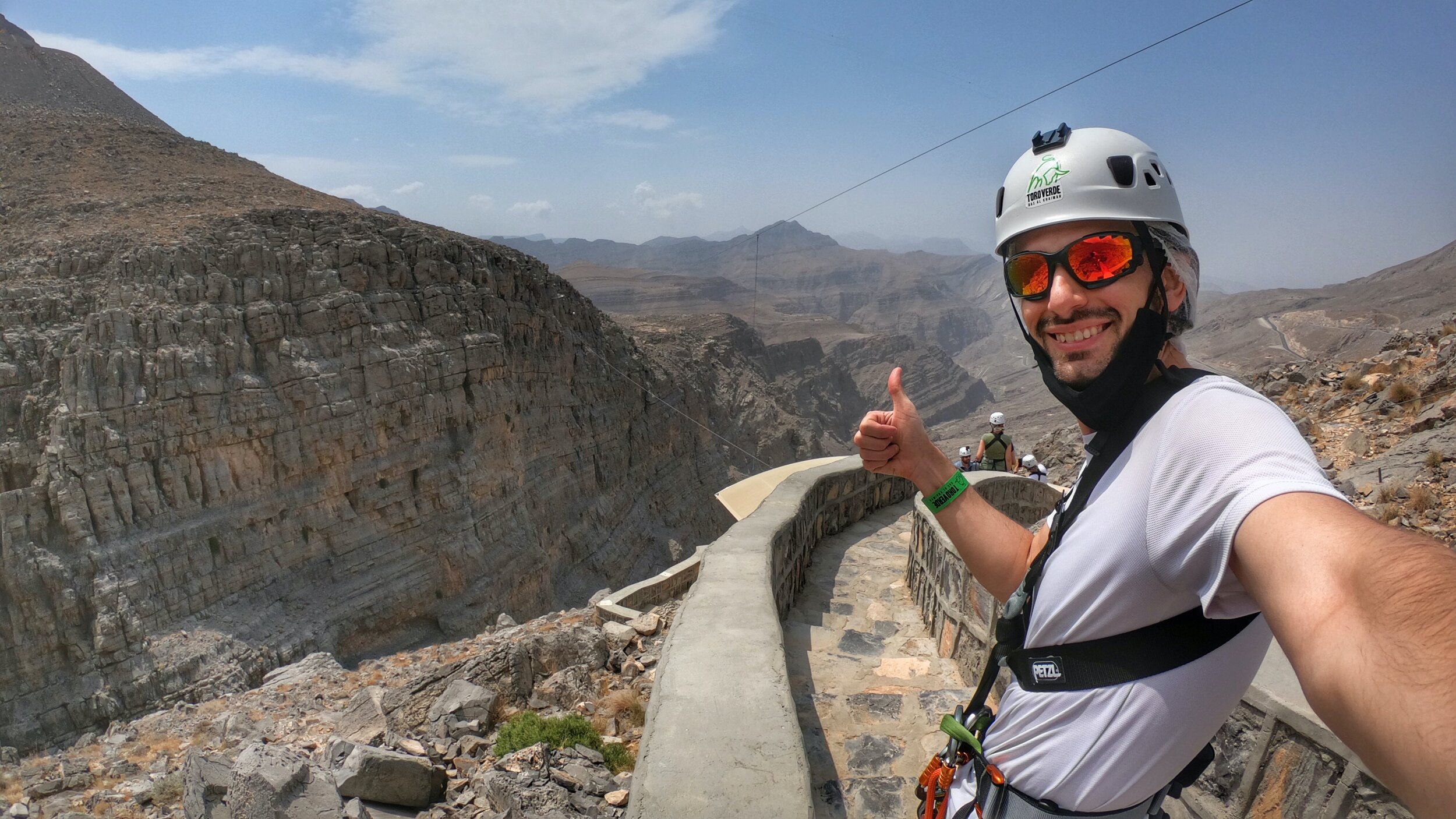
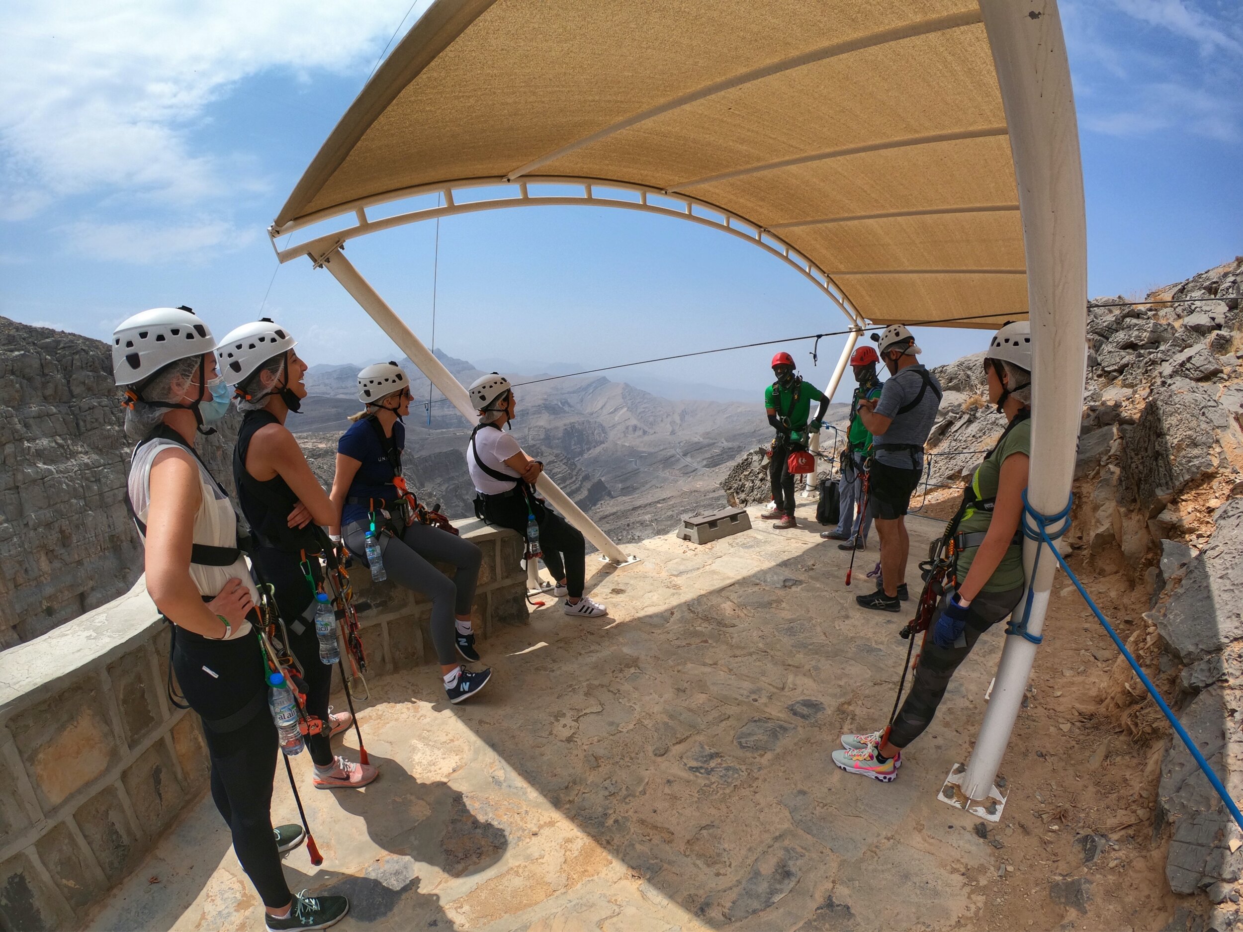
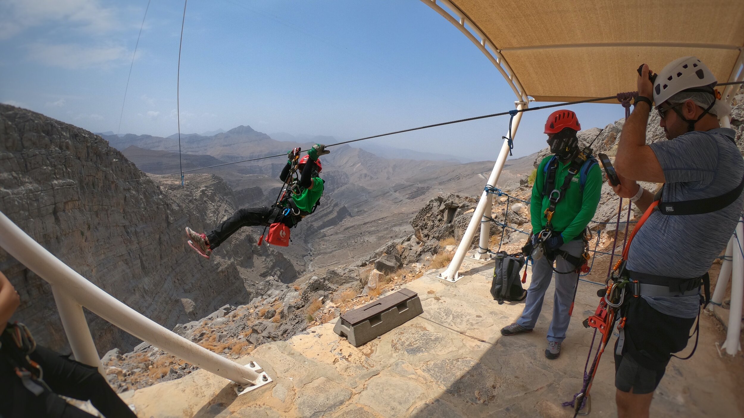
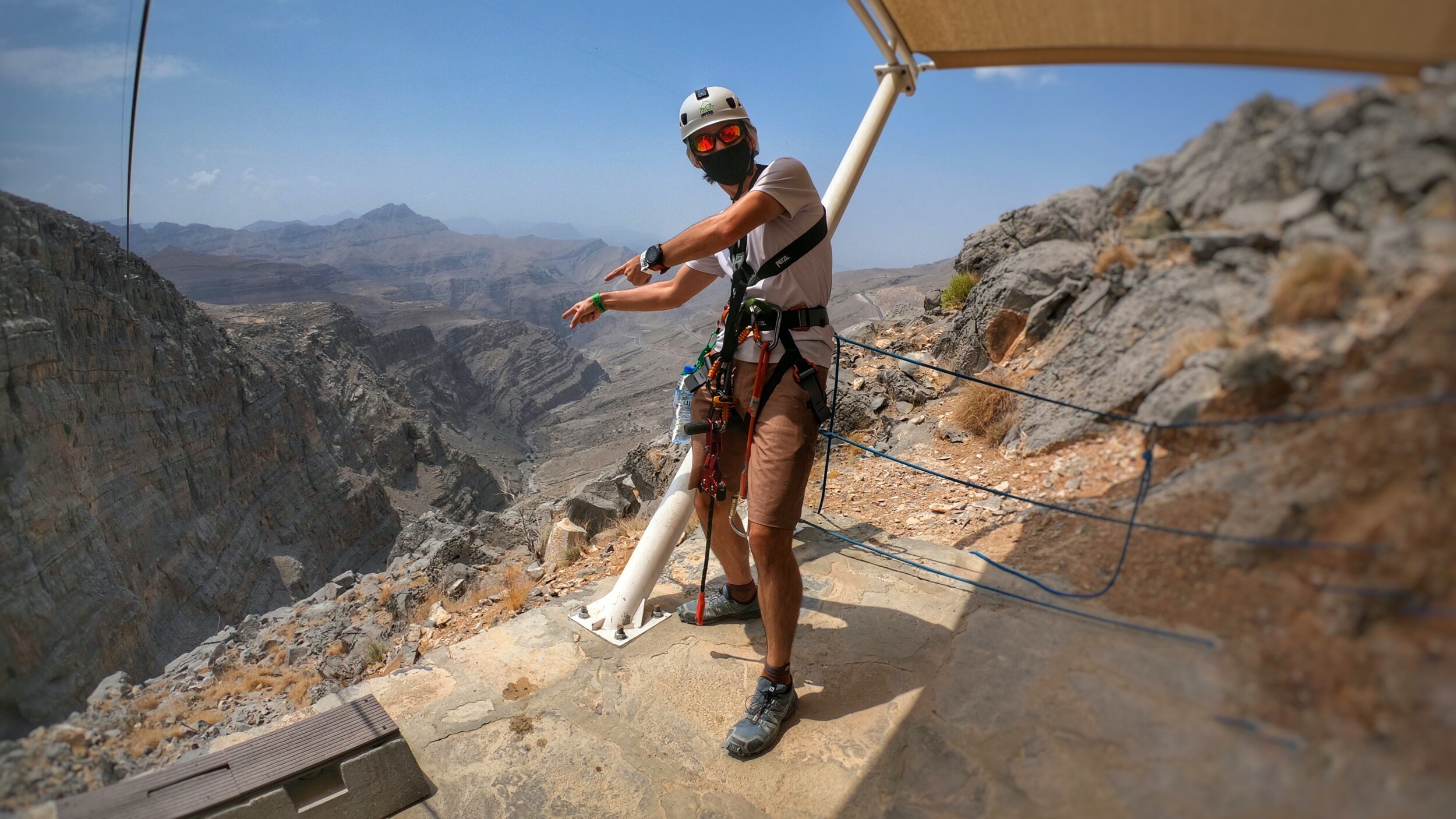
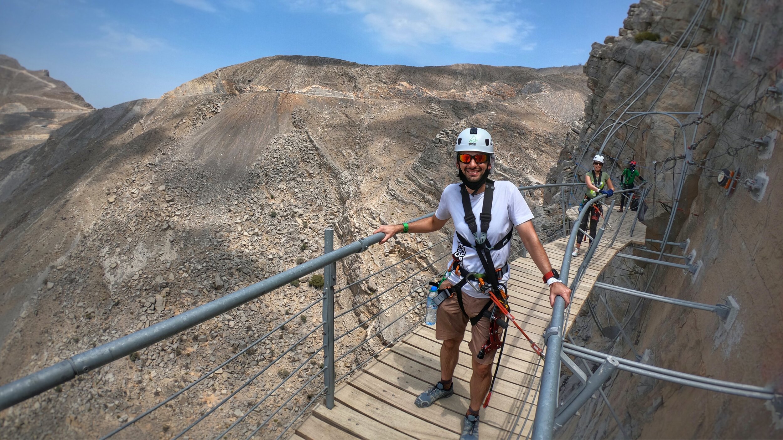
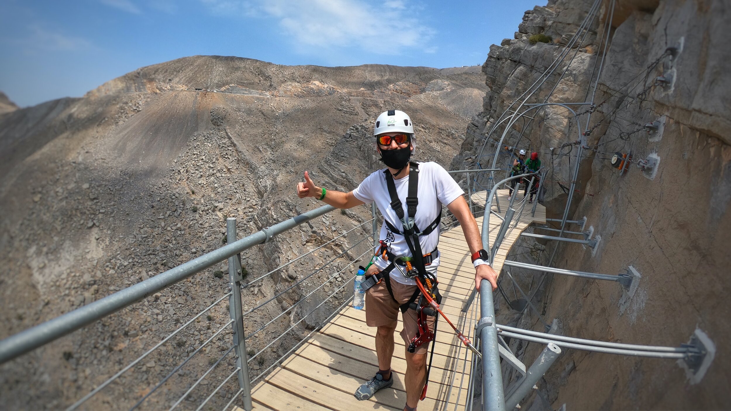
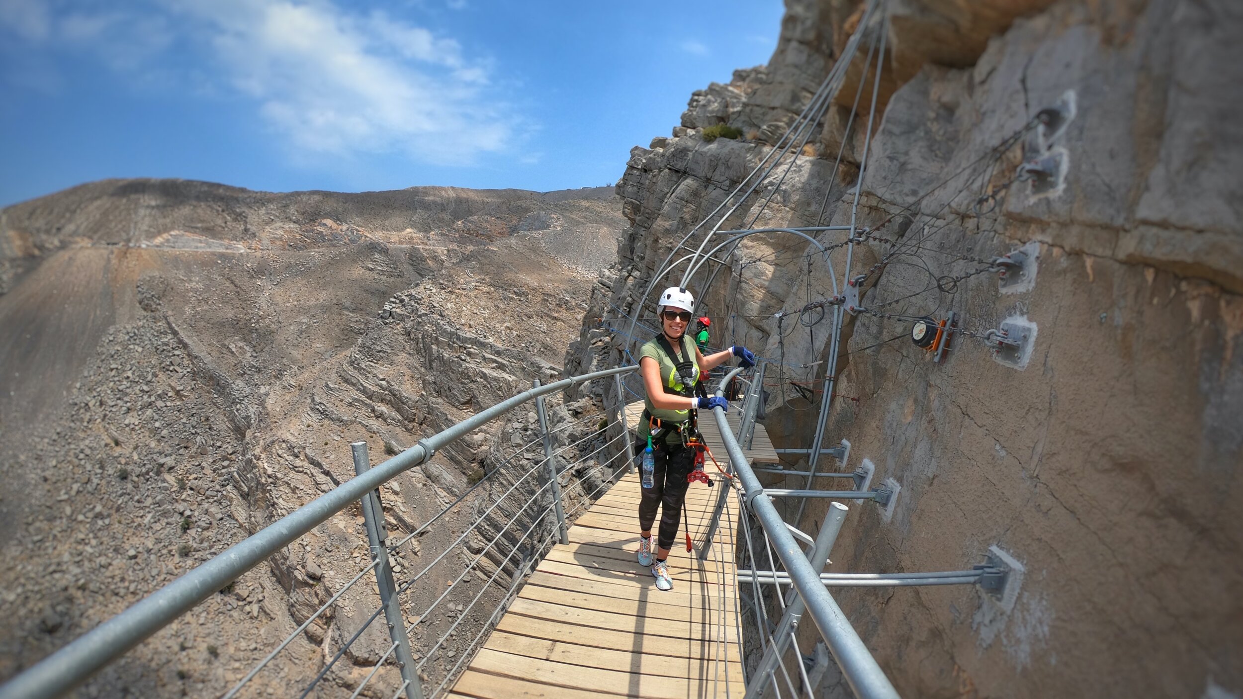
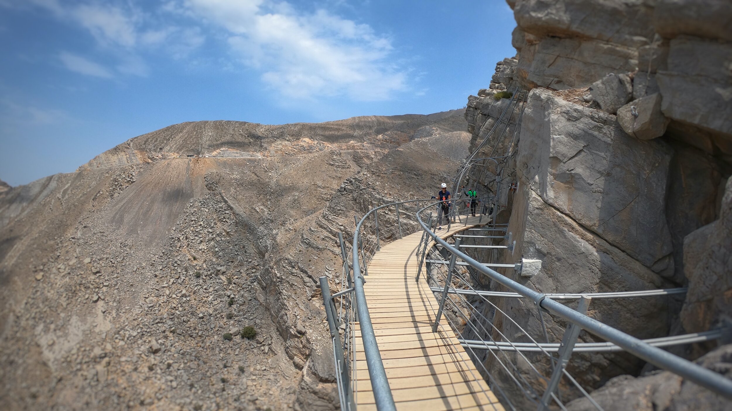
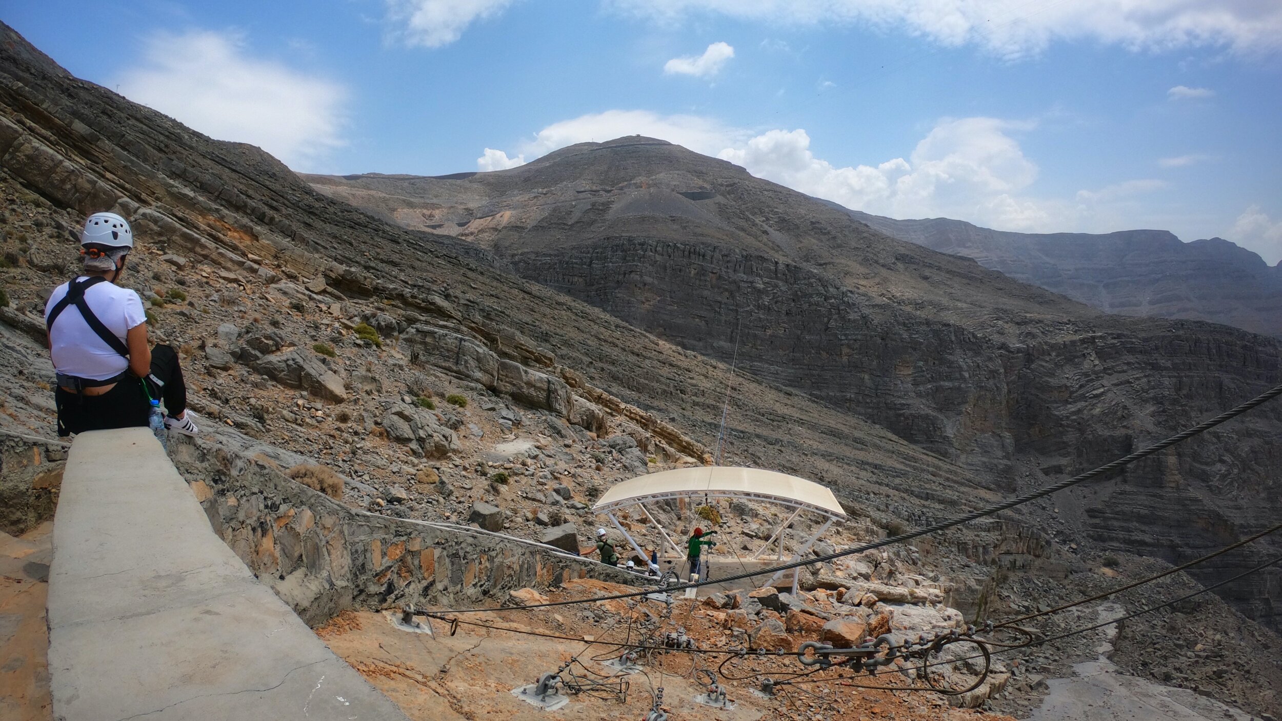
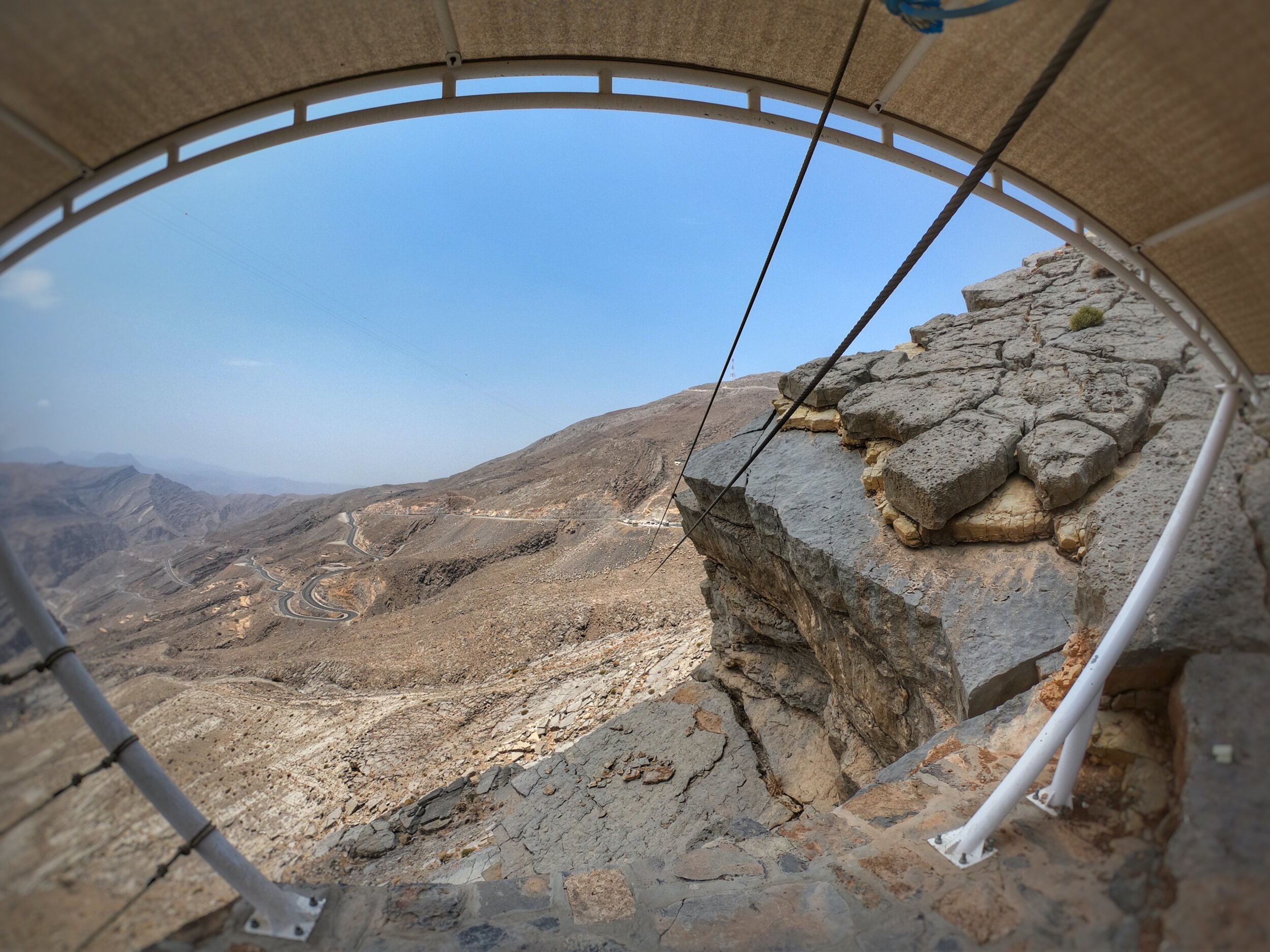
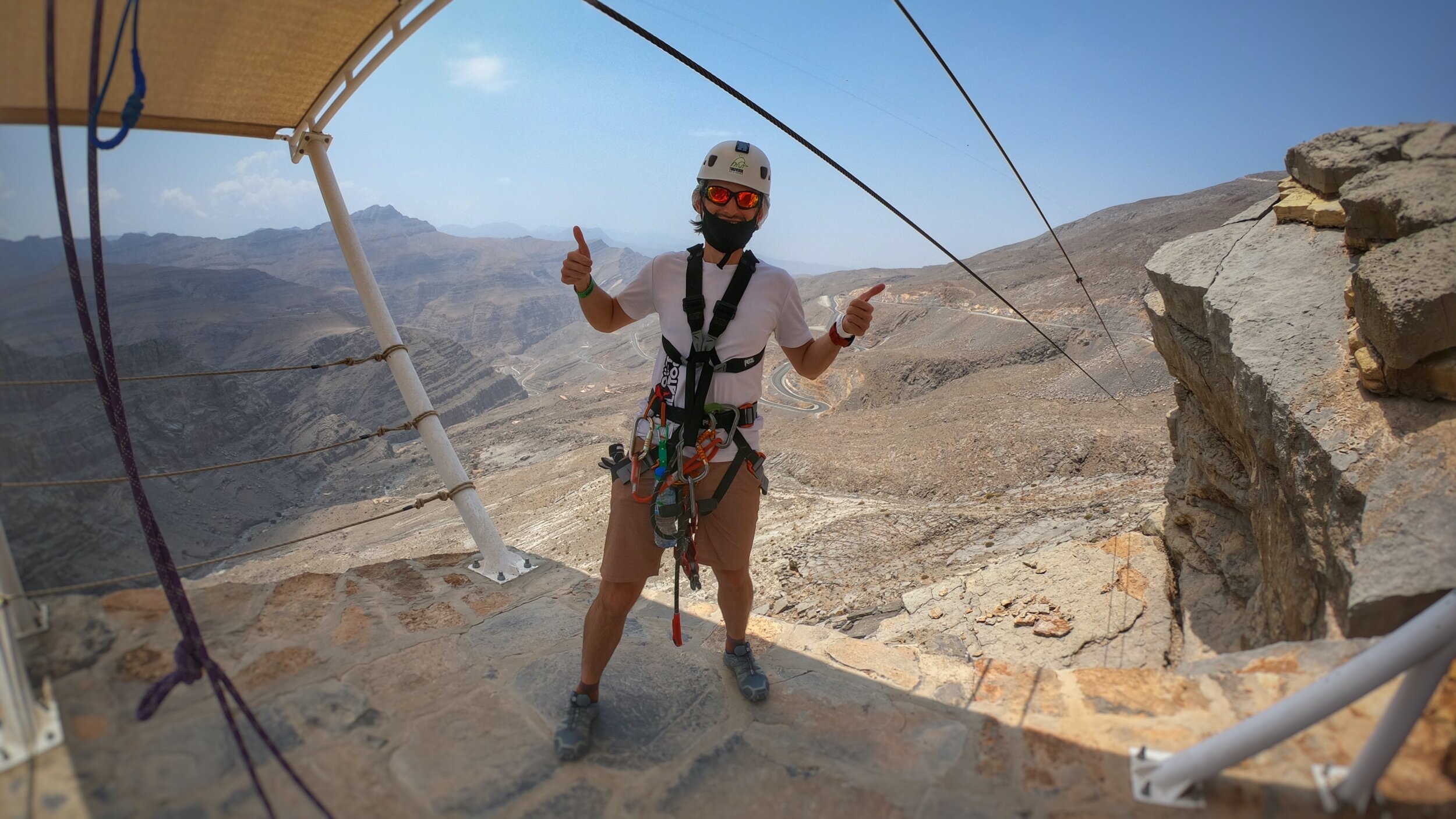
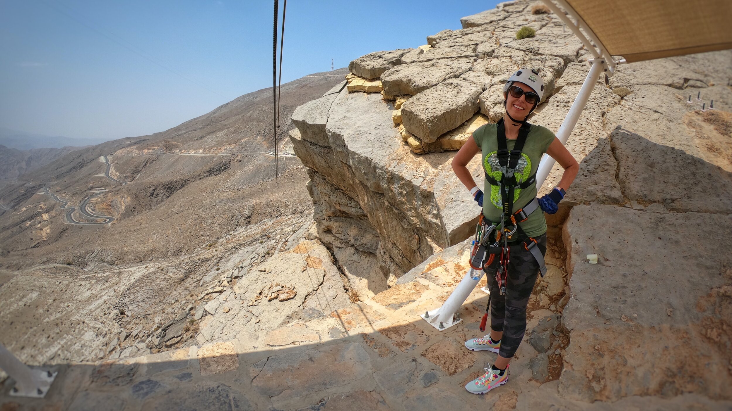
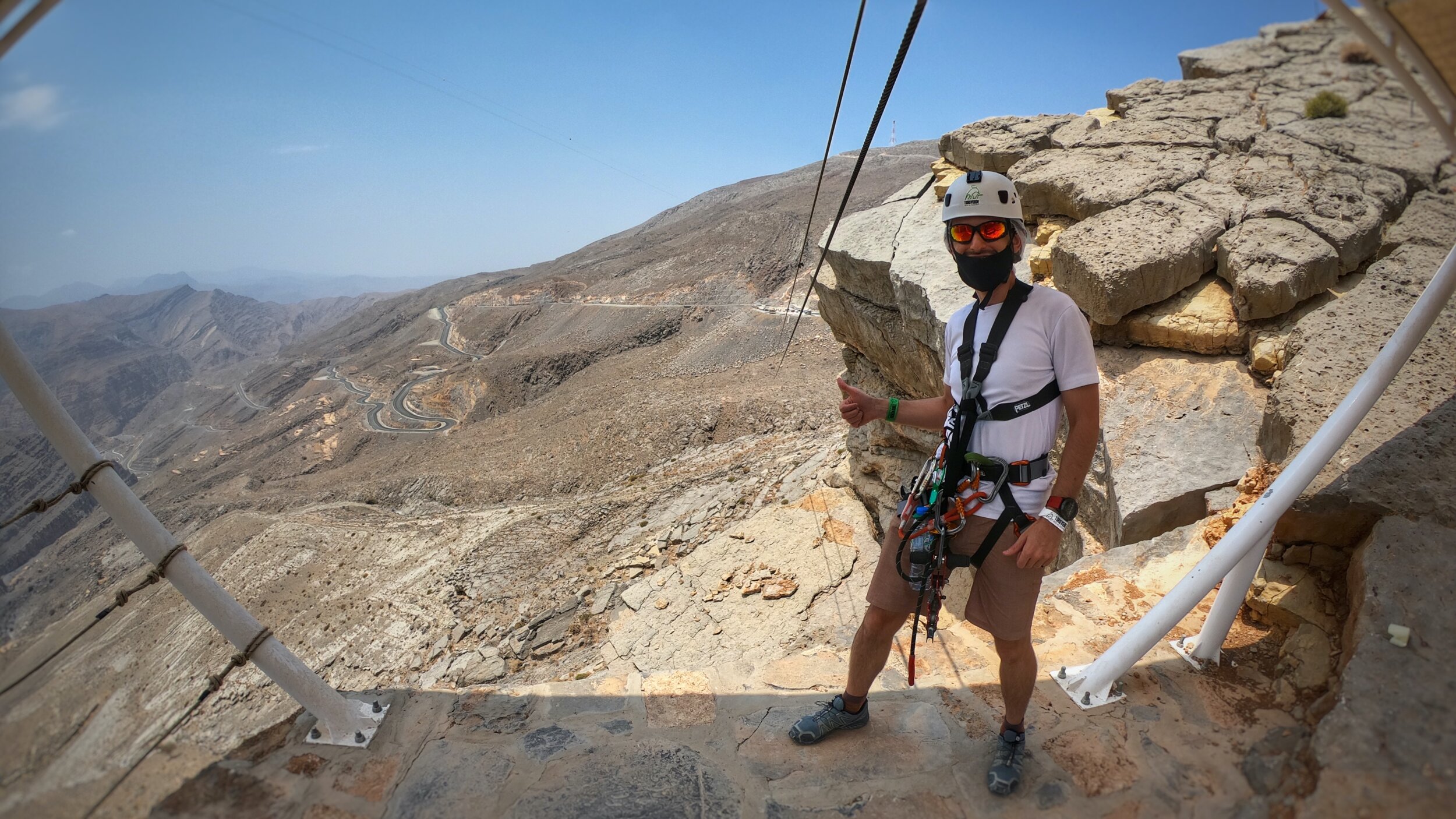
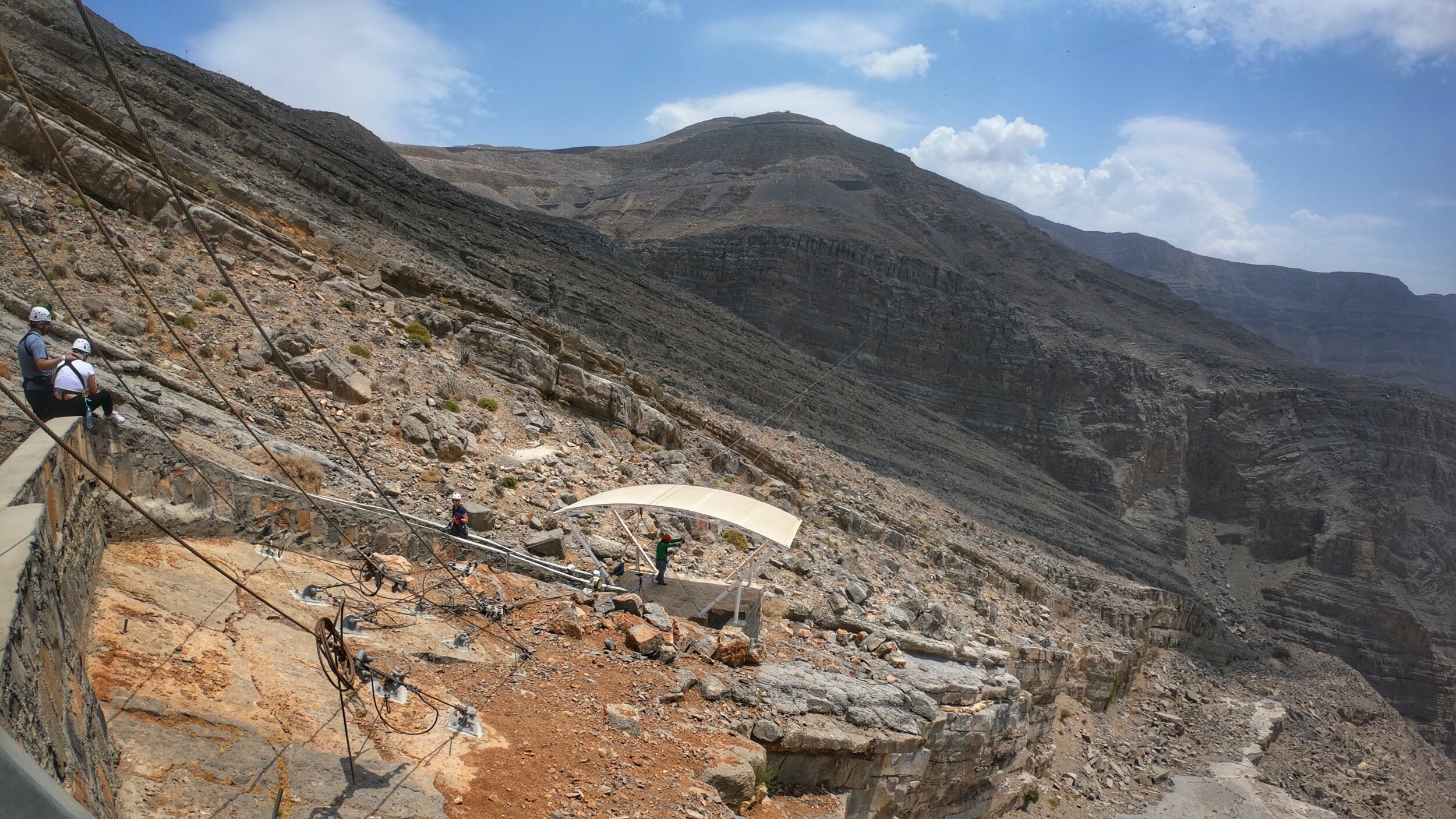
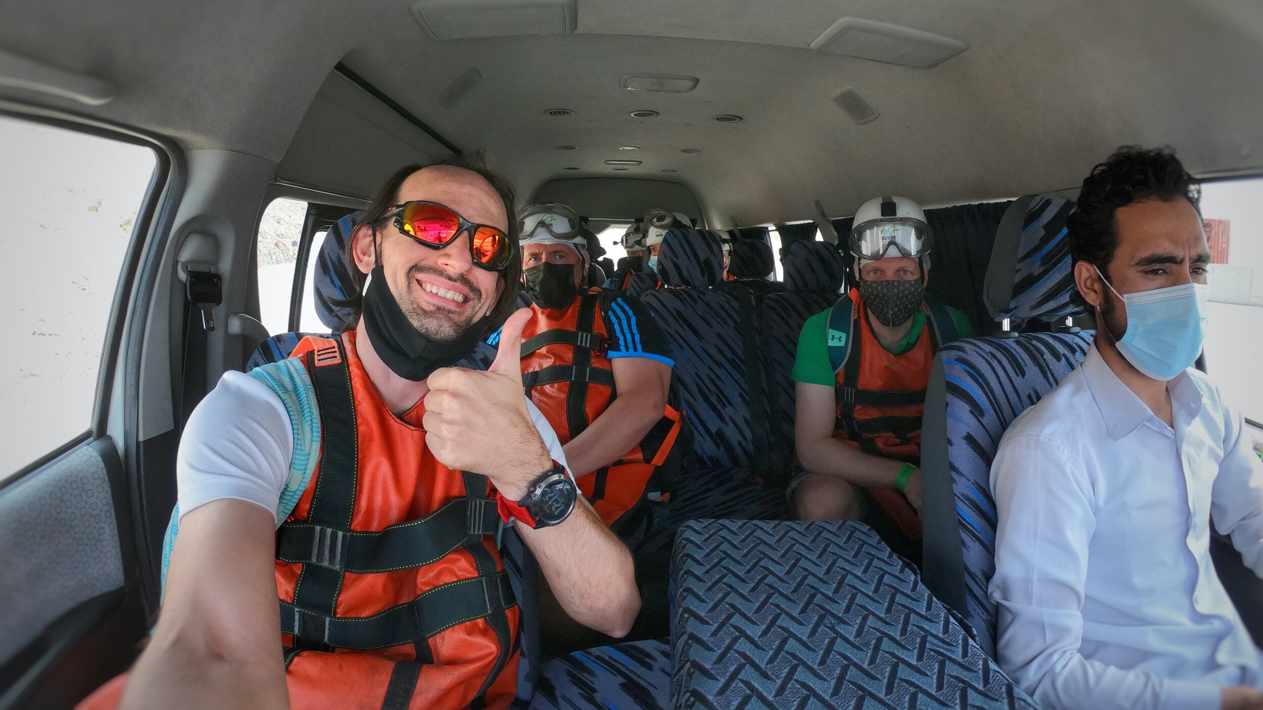
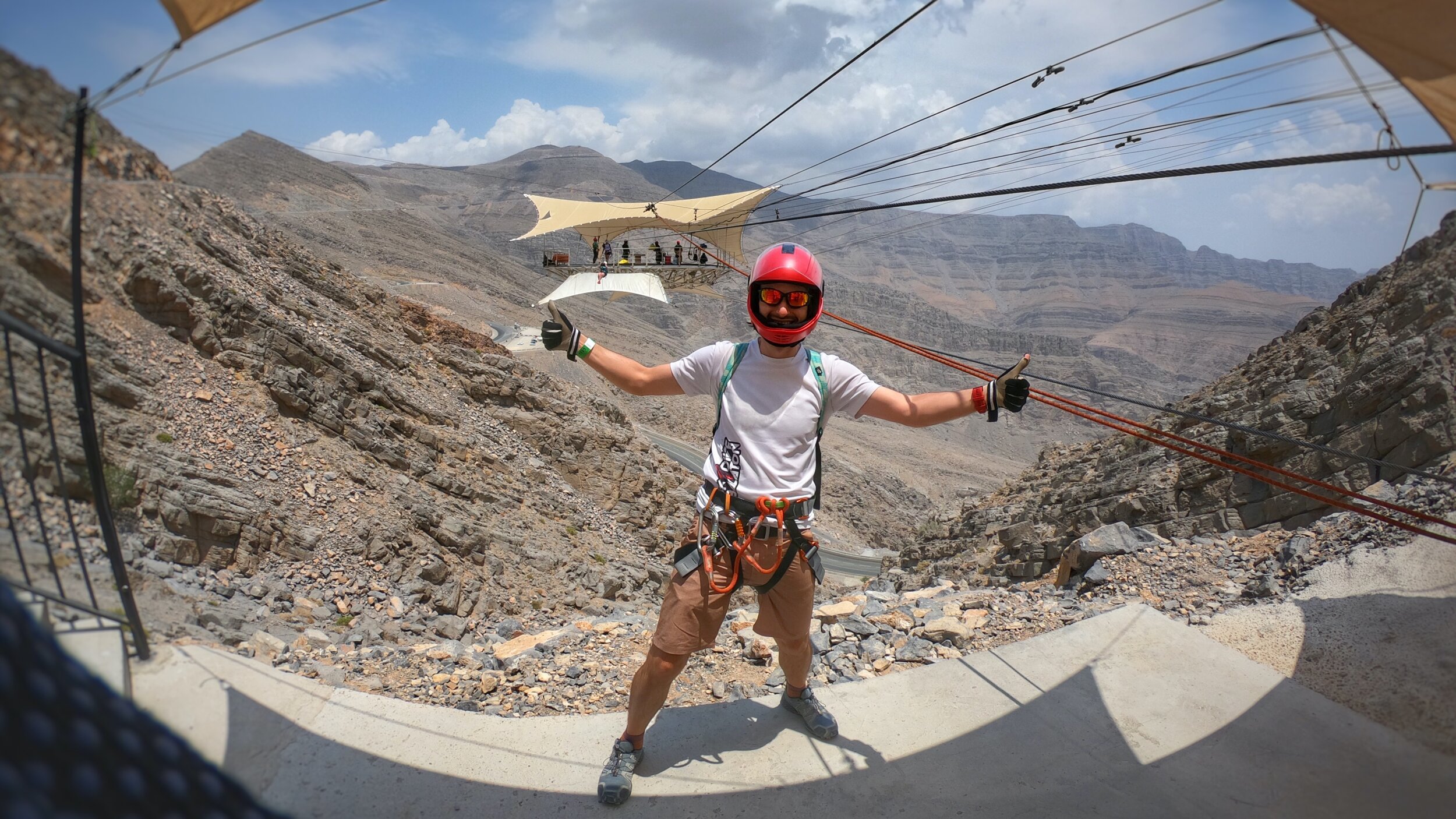
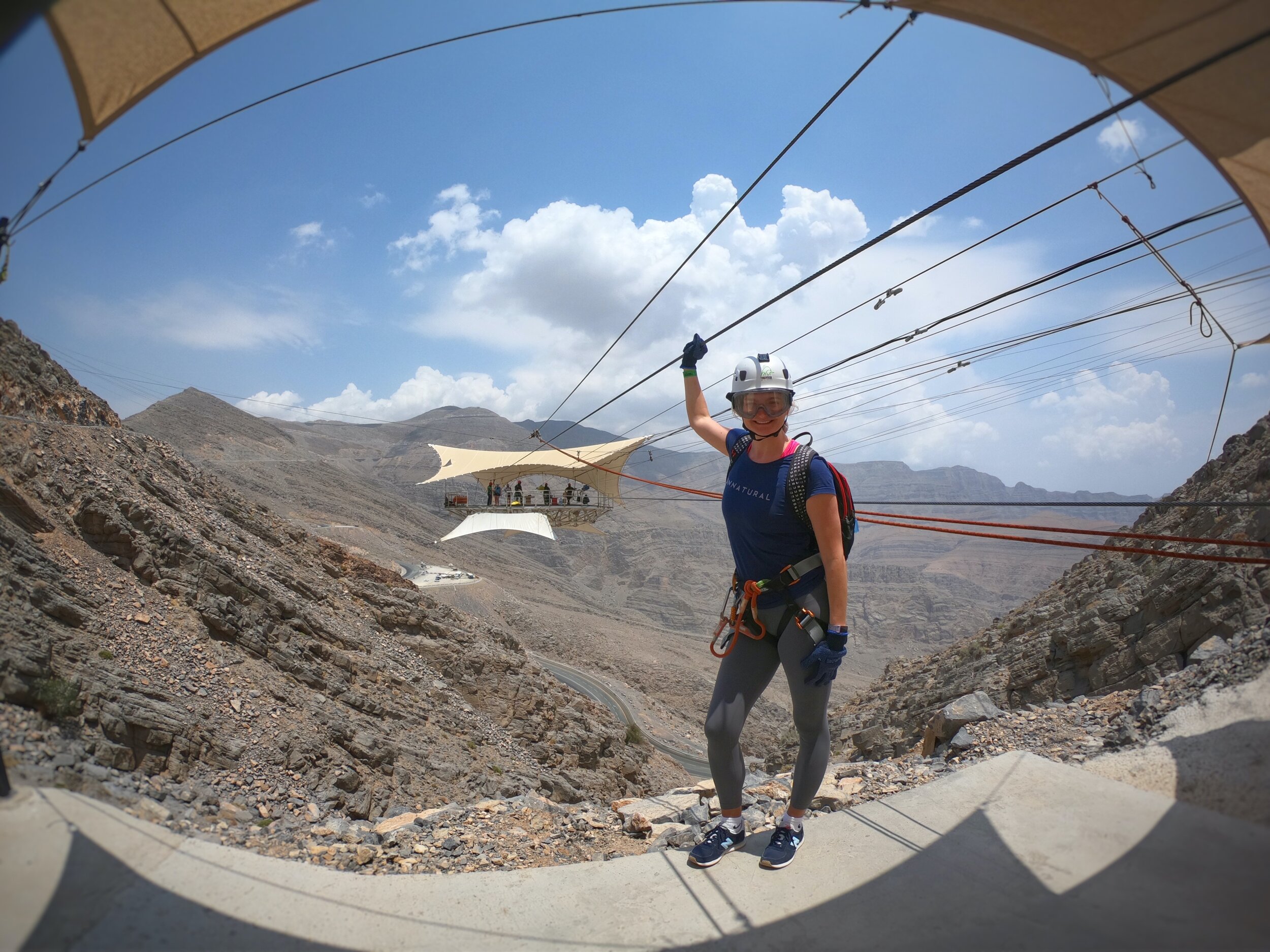
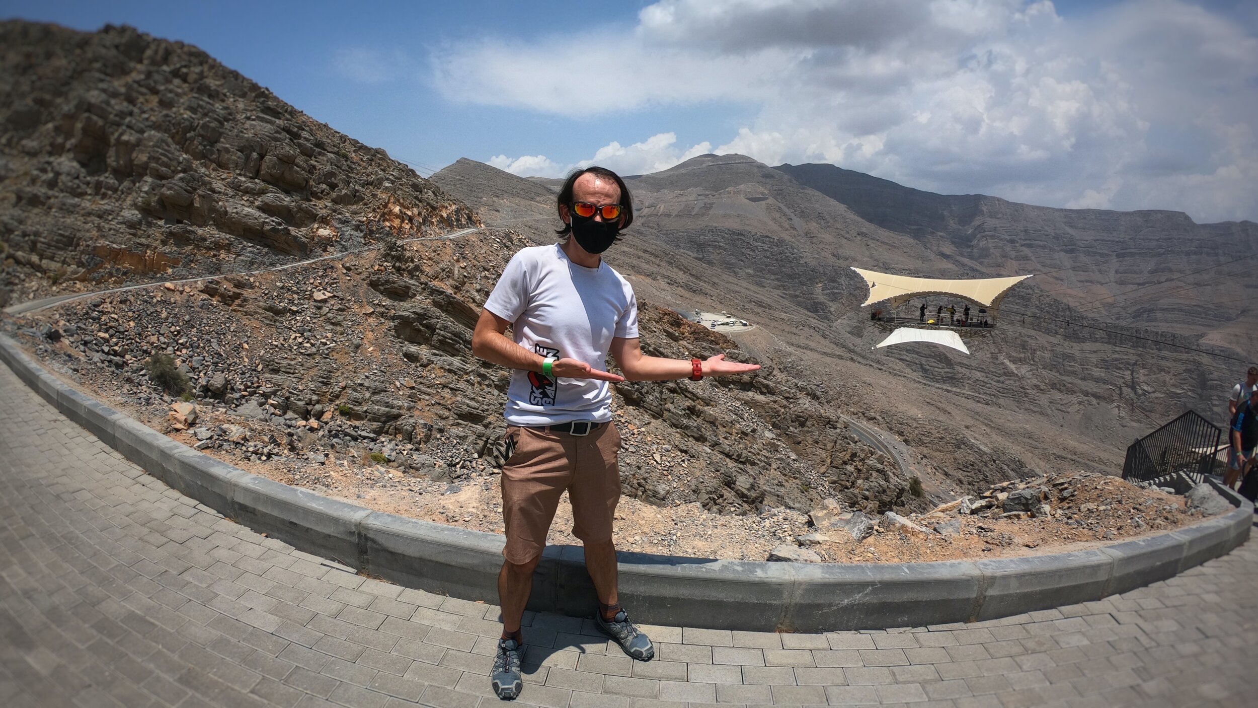
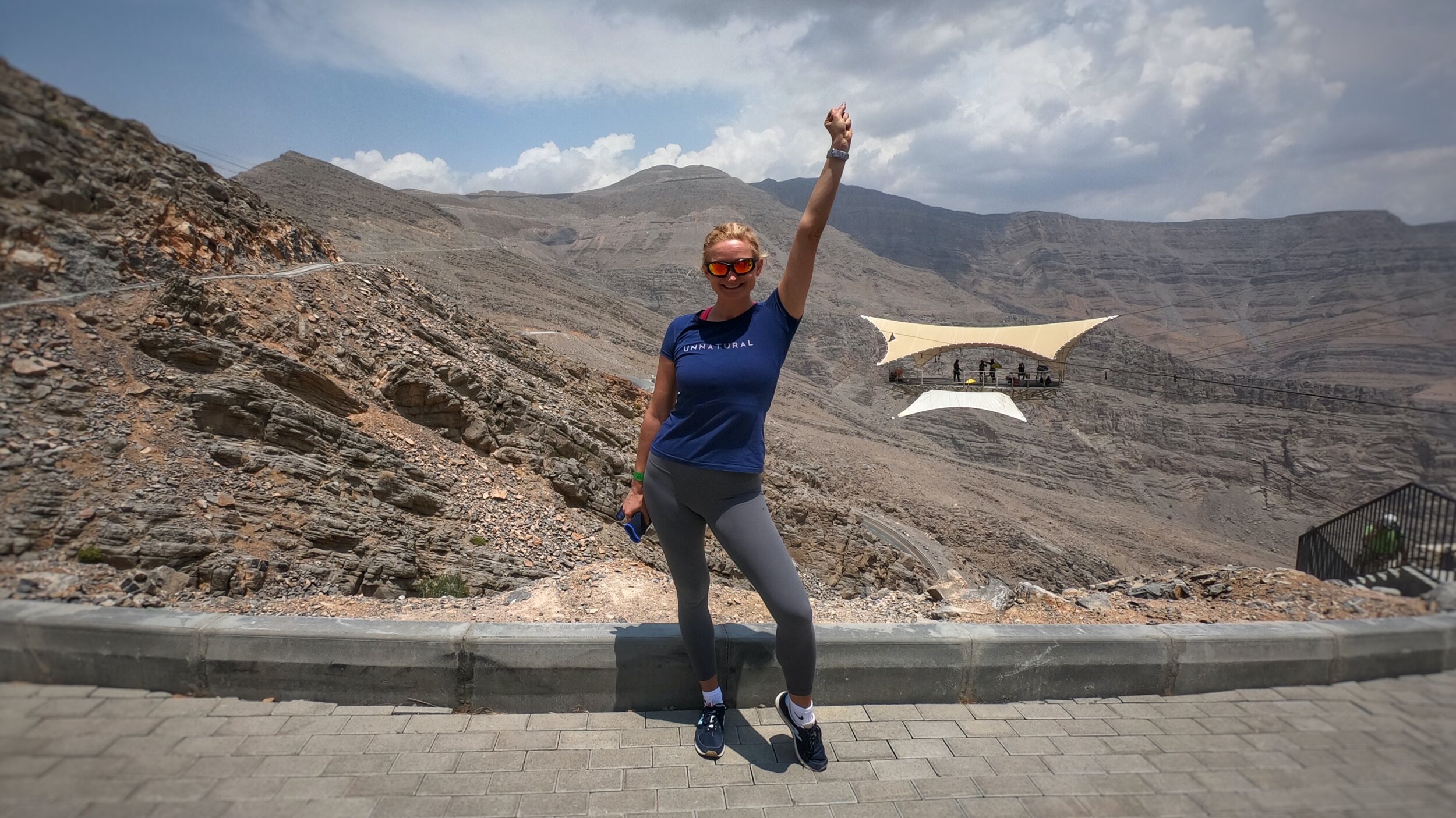
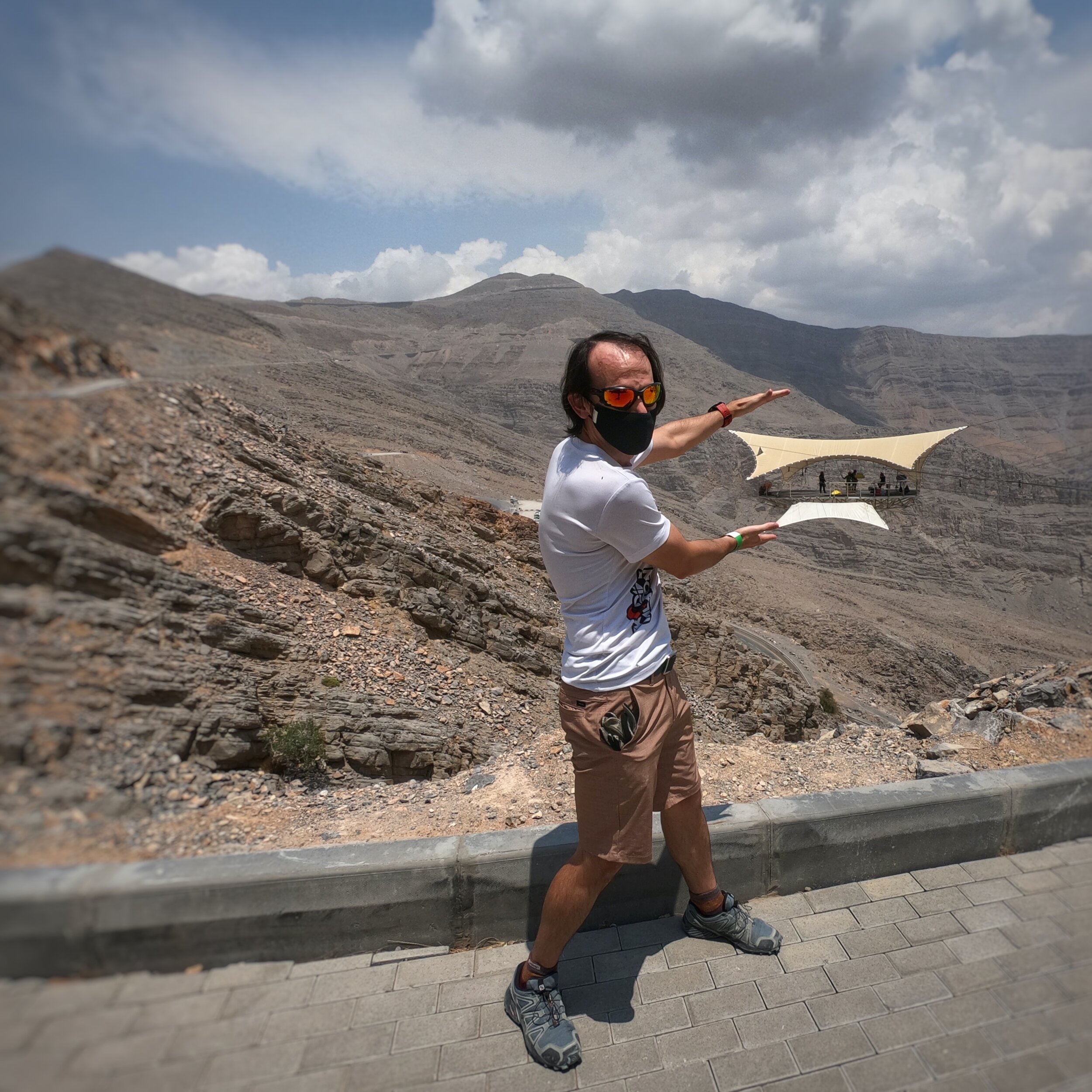
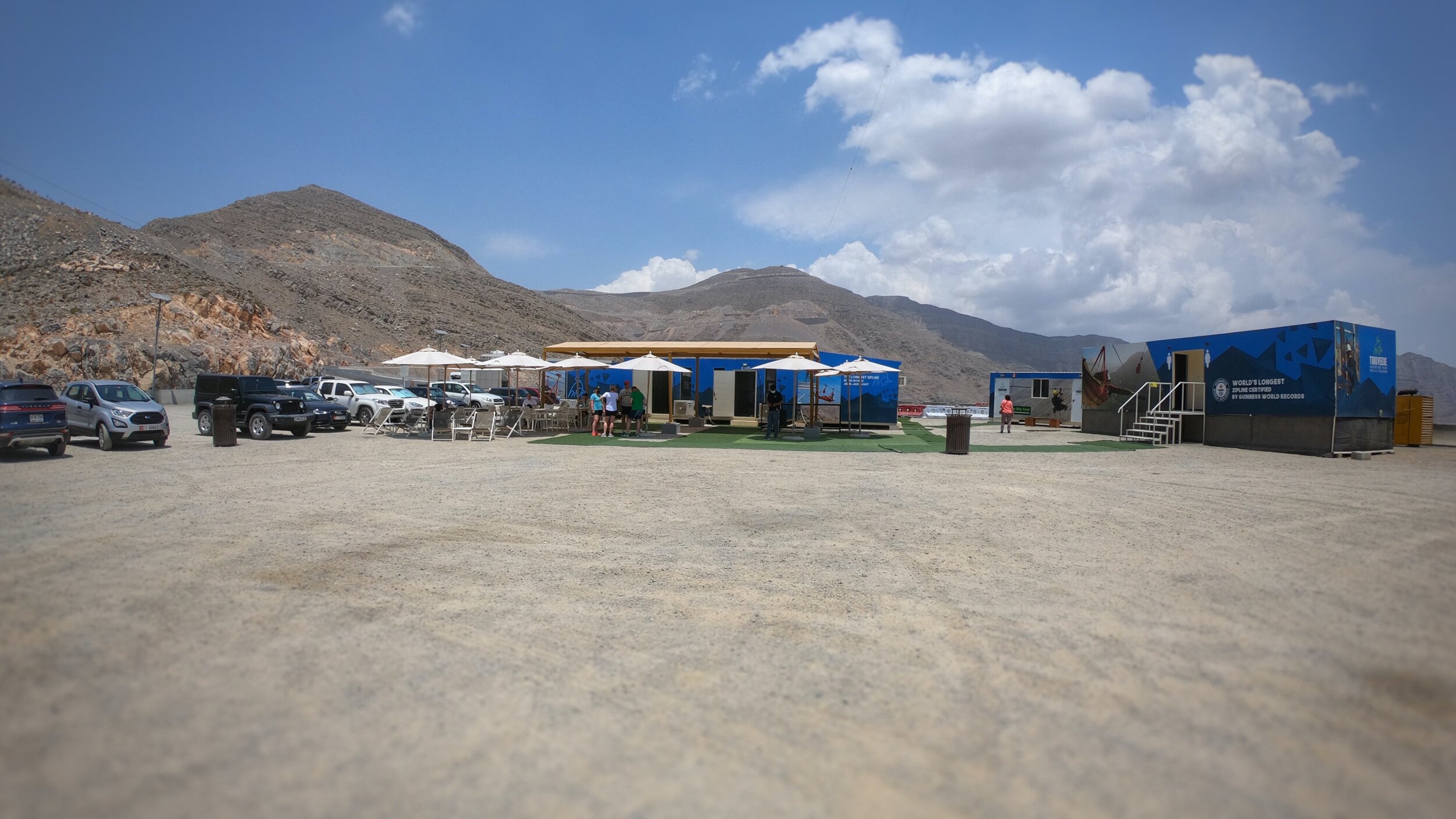
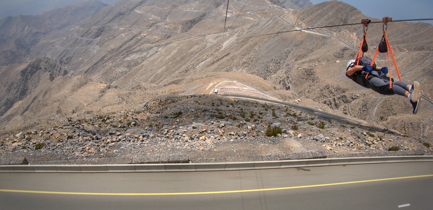
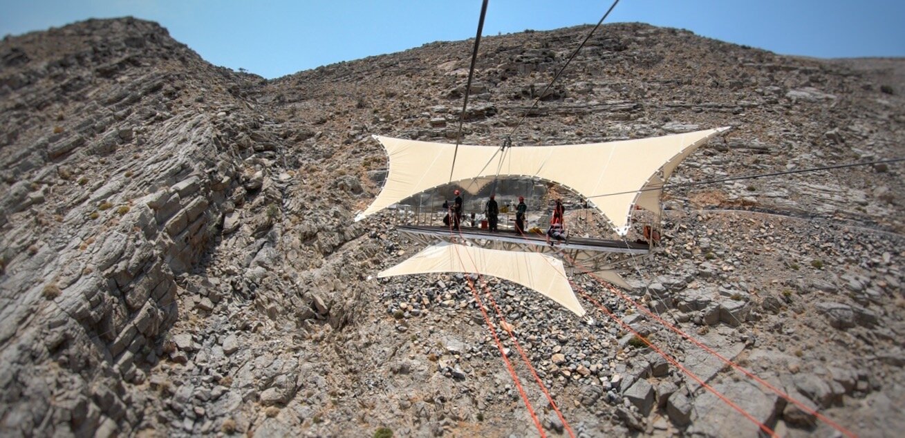
What better way to spend a Saturday in May in the UAE than by heading up to the highest mountain in the country, Jebel Jais, and spend hours playing on ziplines, zooming about the place and pretending to be an elite Commando and Proximity Base Wingsuit pilot all in one incredible experience.
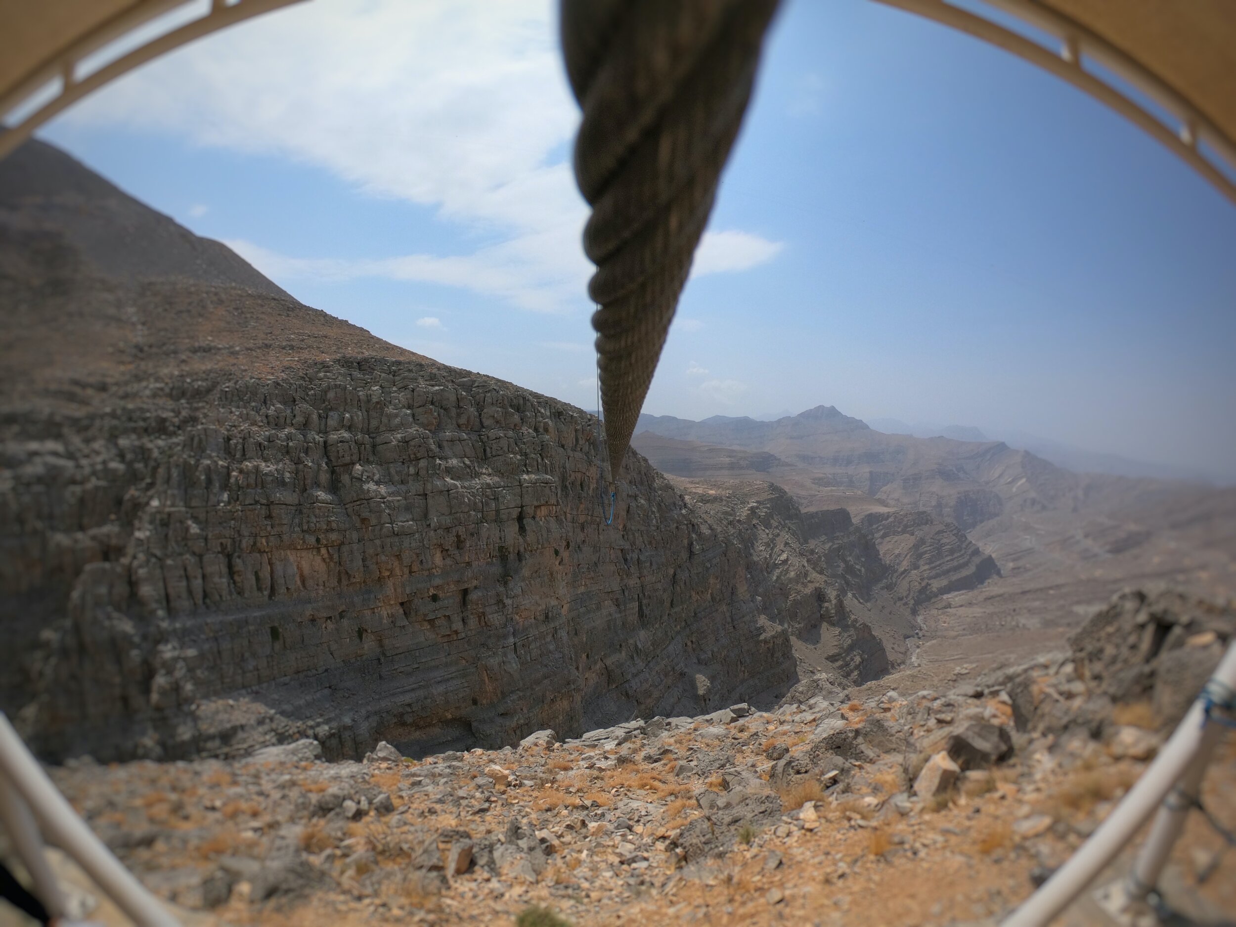
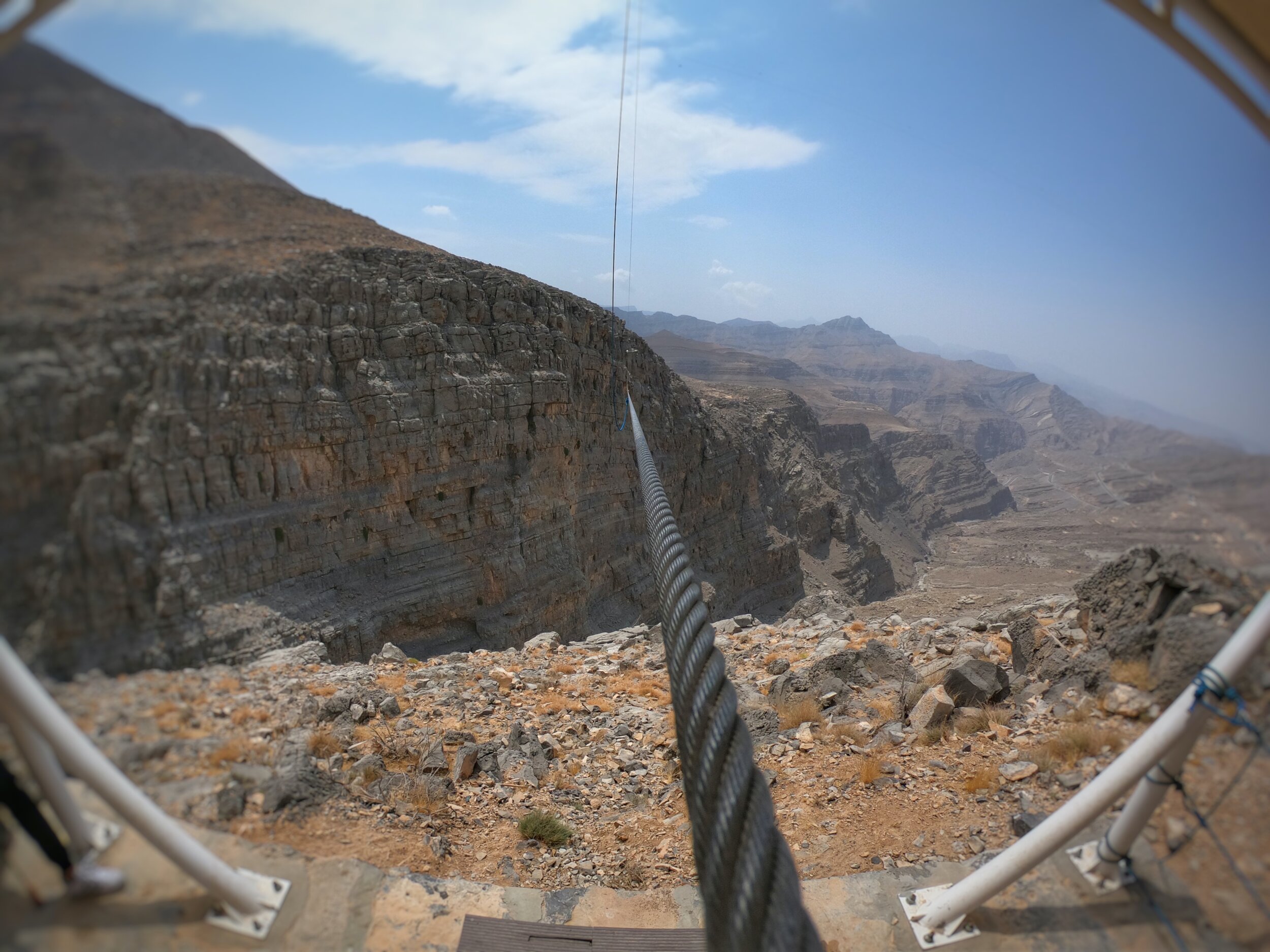
Toroverde have created something pretty special up there & I was fortunate enough to get to experience both the Jebel Jais Flight (120kph over 2km of straightdown anyone? Yes please!) and the Jebel Jais Sky Tour (an exhilarating exploration of the mountain by one of the best transport systems there is: zipline!).
Eiger101 - an epic mountain race
2018 was the year that I was fortunate enough to get to line up at the start of this incredibly iconic alpine race. Here is a collection of the various blog posts I wrote in the run-up to the race in addition to the full race report itself. Ain’t reminiscing fun?!
Leopard Canyon (Ras al Khaimah)
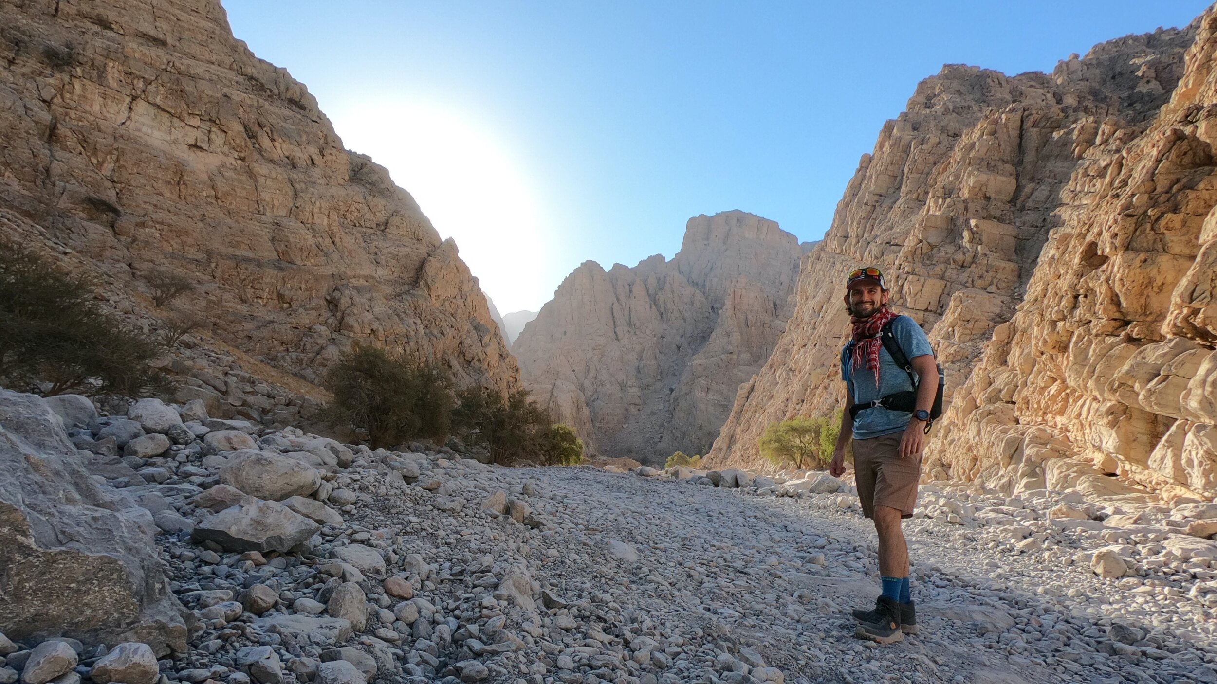
Leopard Canyon, apparently so named as it was the site of the last ever recorded live example of the wild Arabian Leopard, is situated up in the mountains of Ras al Khaimah, en route to Jebel Jais. I had heard positive reviews of it's natural splendour and having really loved some of the hikes in this part of the Hajar range decided to look into a visit.
I am naturally cautious whilst still enjoying some adventure. What this essentially means is that I am not one to simply set out blindly and 'explore' in the pioneering sense. There will be no new trails attributed to my name as I am certainly not looking to put myself in any unknown harm's way by venturing off into uncharted territory. As such, I spent some time researching this hike, reading blog accounts and reviewing the route on Wikiloc, as well as downloading the GPS file onto my own Garmin, which I intended to then follow. As a result of this research I knew that it was not a really easy going hike and there were one or two more technical sections to contend with. However, what I did not appreciate via this 'armchair research' was just how tricky some of the sections would prove to be in the real life, wild setting, where there were actual repercussions in the event that things went awry. I now appreciate fully a couple of very important considerations in relation to this specific hike:
1. Do NOT attempt this solo.
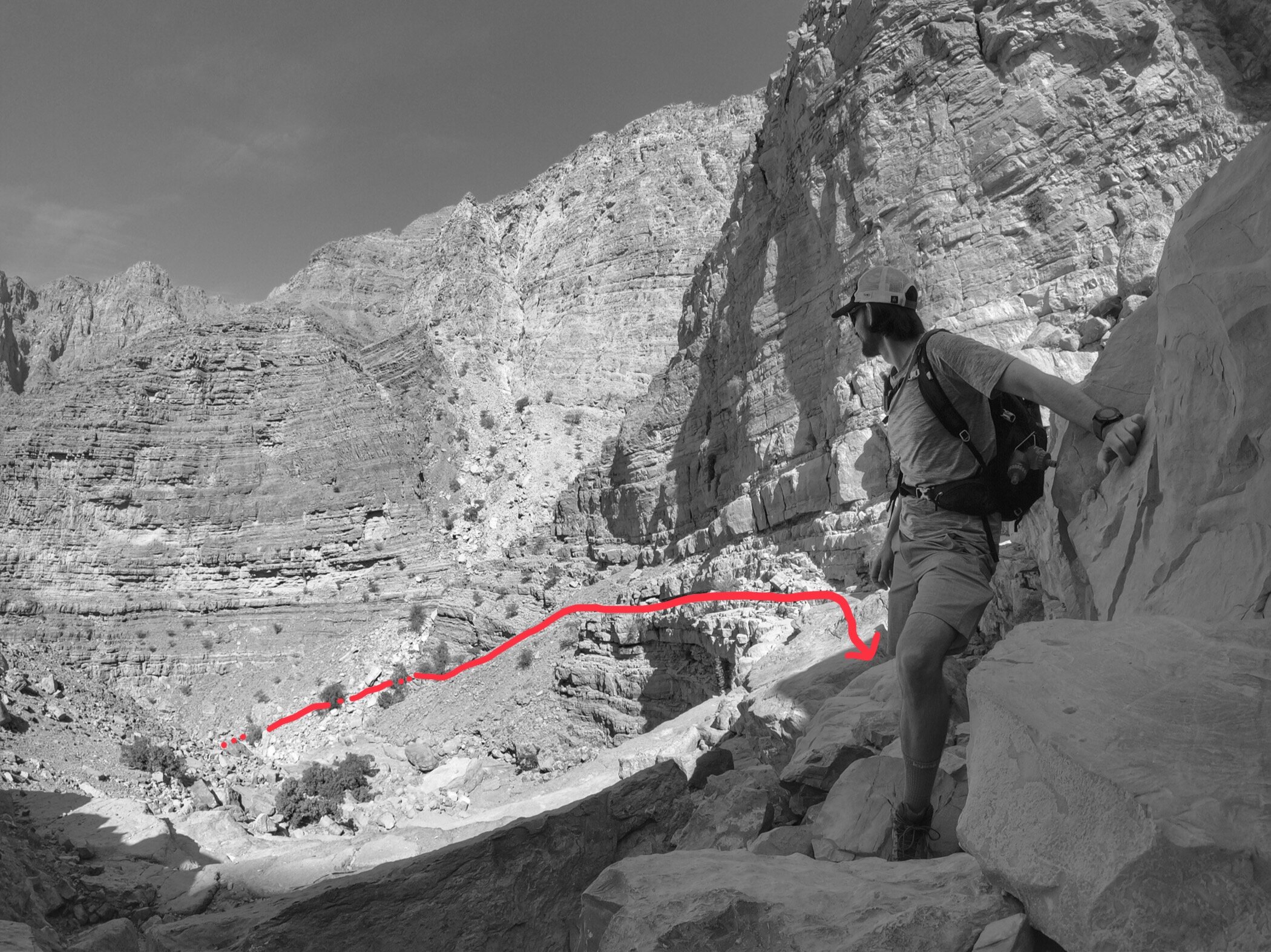
Whilst I have trail run and hiked perfectly safely in a solo capacity before, and routinely put in place safety measures such as confirming my plans with a friend, checking in with them as I set out, giving them a check-in-by time and then confirming my safe return, in addition to researching the route and as much information as I can, plus taking all of the essential kit, this hike felt unsafe at one point in particular. Whether having someone else present would have in any way reduced the actual risk level is up for debate but what having a co-hiker does is provide a degree of reassurance that were something to go bad, someone would then be able to react and either provide help or call for assistance. The section in question was one where a climb was involved - in hindsight it was not an especially high or tricky climb but the fact is that a fall at that point could have been quite nasty, with a drop of at least 6-7 feet down between a narrow rock gap. A fall of that nature, whilst unlikely to be fatal, would probably result in a quite serious injury and certainly impede one's ability to get back down the mountain unaided. I'll discuss this particular section in more detail below.
2. Ensure that you complete this during daylight.
I did manage to complete this route in daylight and was mighty glad I did as there were parts of the second half (technically the descent) where there was absolutely no clearly marked trail and what simply looked at first glance to be impossibly steep slopes and drop-offs. How on Earth anyone would manage to descend safely in the dark is kind of beyond me. This hike took longer than perhaps I was initially expecting as the distance is misleadingly short. However, throw in the technical nature of the terrain and the fact that there is no real trail to speak of and the time required to safely navigate it increases. I set out at about 9.30am - I would have preferred an earlier start but was delayed by heavy fog in Dubai that impeded safe driving - and got back to my car by 5.30pm, and this was baring in mind that I did not stop for lengthy periods of time during the hike itself.
Finding the Hike
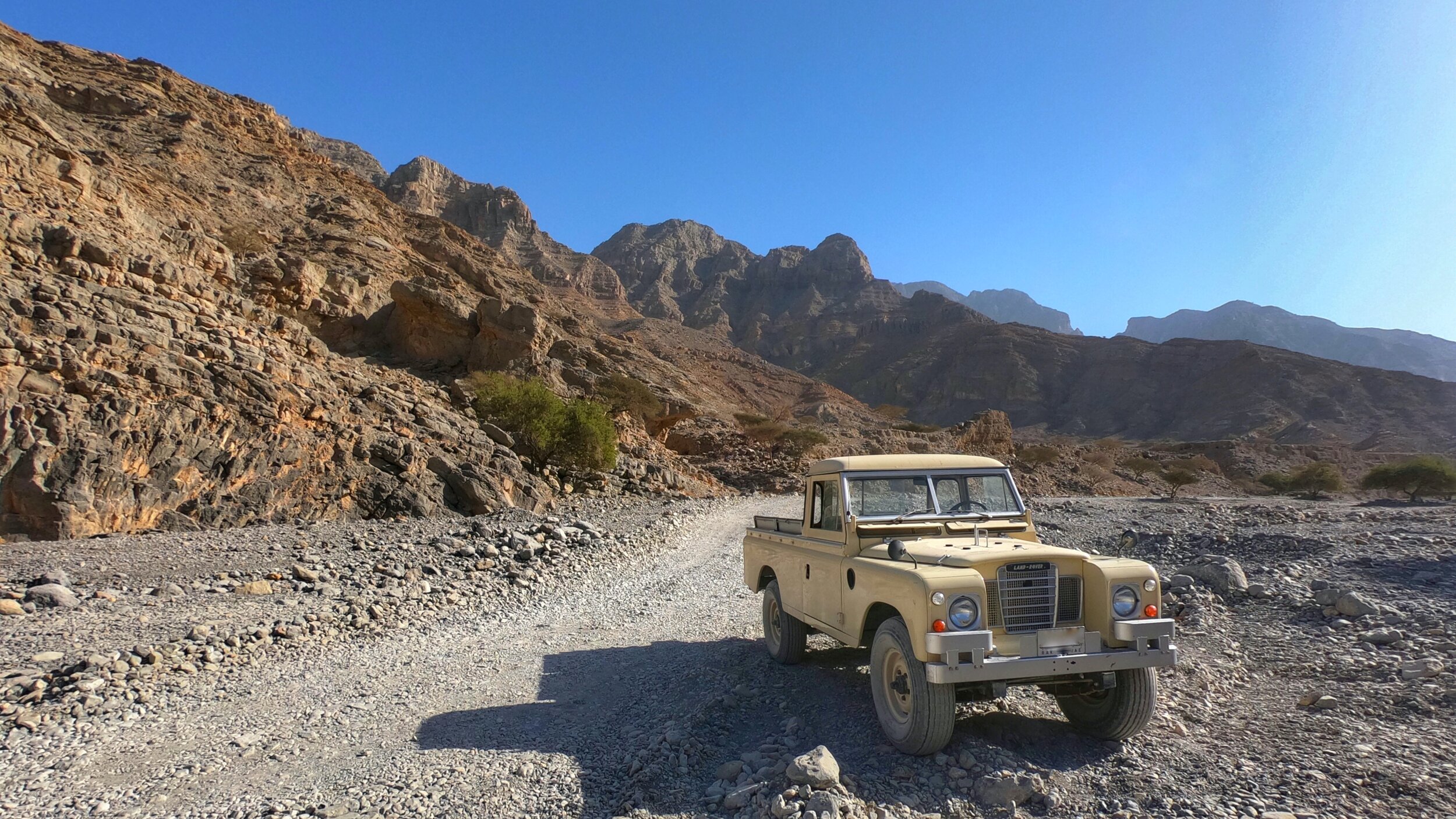
Driving along Wadi Bih towards Jebel Jais, the road curves round to the left at the southern end of RAK Lakes. At this point there is a small tea truck parked up on the right, just beyond a huge sign for Challenging Adventure, with arrows pointing towards it. This is the turnoff towards the start of the hike and so I turned right, following the dirt road past the aforementioned adventure centre and towards the village of Sal. I chose to park up a little before the start point provided on Wikiloc on account of not driving a 4WD and preferring a bit more walking compared to getting stuck and so found a suitable 'layby' to start from. There are a number of signs as you drive down the wadi stating something to the effect of 'Residents Only,' but were these to be religiously adhered to then the first part of this hike would be about 5km longer each way. I figured that as long as I didn't encroach on anyone's access and kept a low profile then as one inconspicuous hiker I should be ok to bend the rules a little.
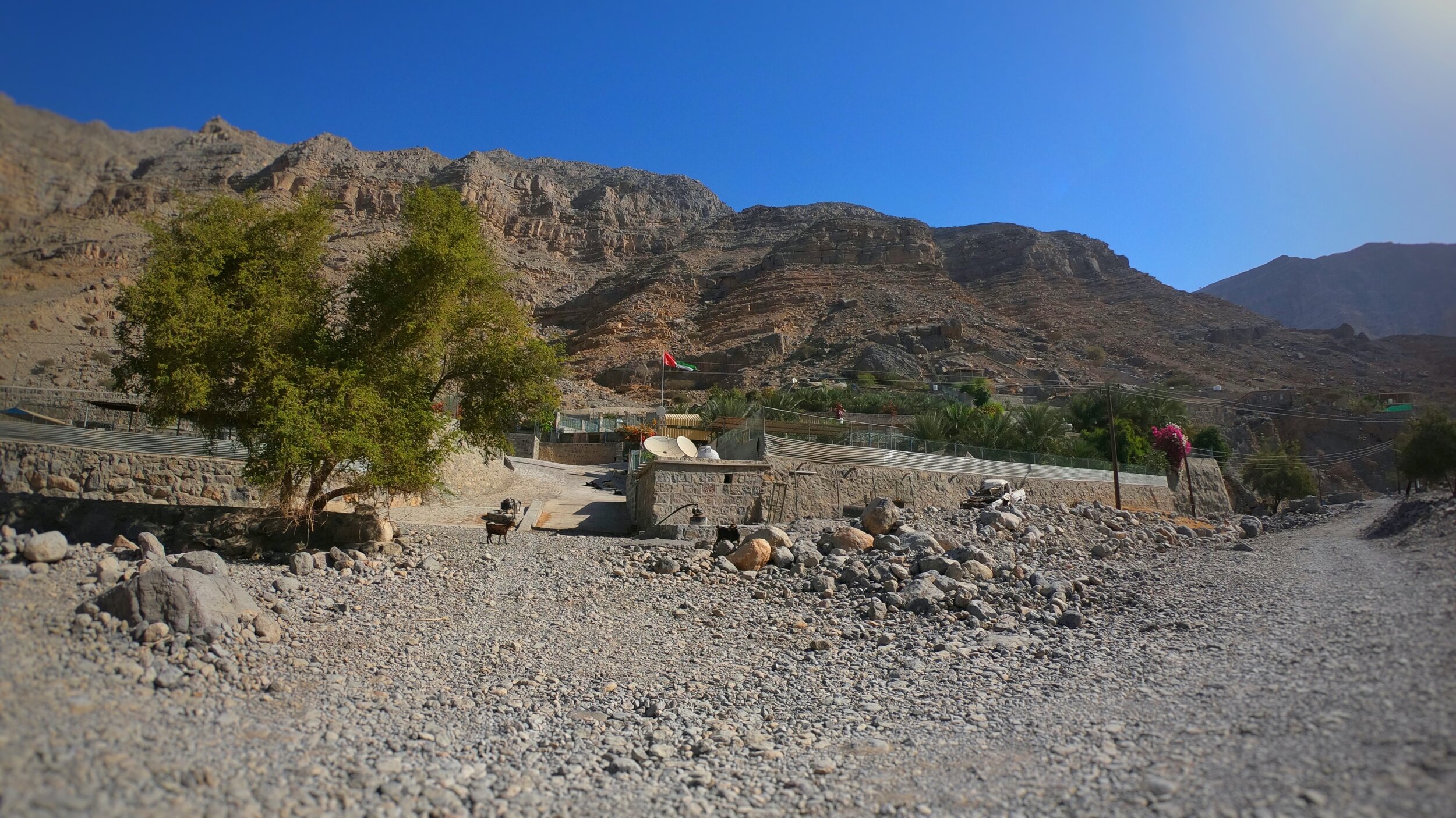
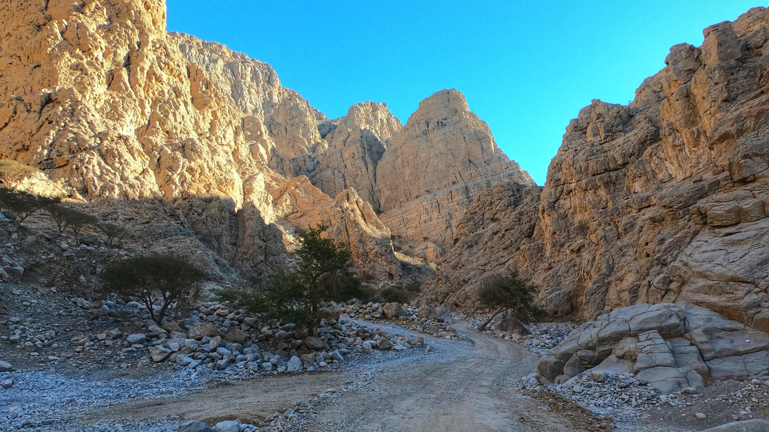
As I set out from my car, heading towards Sal and then into Wadi Ghail, the temperature was already up in spite of it still being mid February and thus winter. With sufficient water, electrolytes, food and other relevant kit in my possession, and having slapped on sun screen, I figured that it probably wouldn't get much warmer than it was, a judgement that proved to be accurate. Flat going for the first 5km, the road took me past the scattered farms of Sal, between vertical, crumbling banks of layered rock, eroded over the years by successive floods during the infrequent rains, and ultimately uphill past what I have always assumed is some sort of remote military border station (small, square towers that look to have, maybe, radar attached) and past two farms that mark the entrance into Wadi al Nimr.
Wadi al Nimr to Hanging Gardens
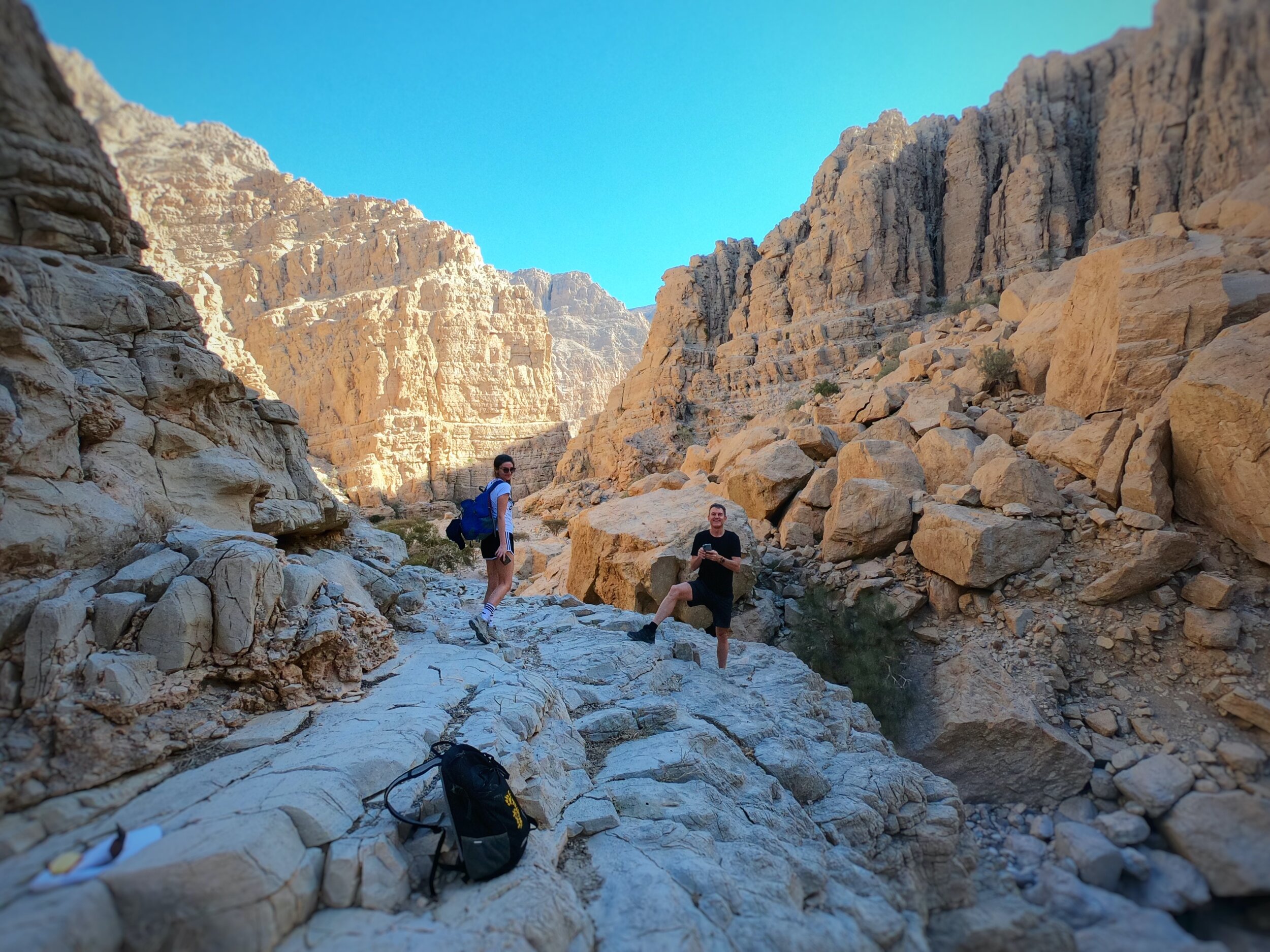
Whilst there is no really clearly marked out trail at any point on this hike route, there were some sections where it was possible to make out boot marks in the dirt, and even some very short sections in which an actual trail could be seen worn into the terrain. As such, I was relying both on the GPS route I had downloaded onto my Garmin and the fact that the wadi itself swept up and round to the right, leading towards the Hanging Gardens. Picking my way up and through this wadi was a gentle introduction to some relatively simple bouldering and route picking, with the Hanging Gardens eventually coming into view.
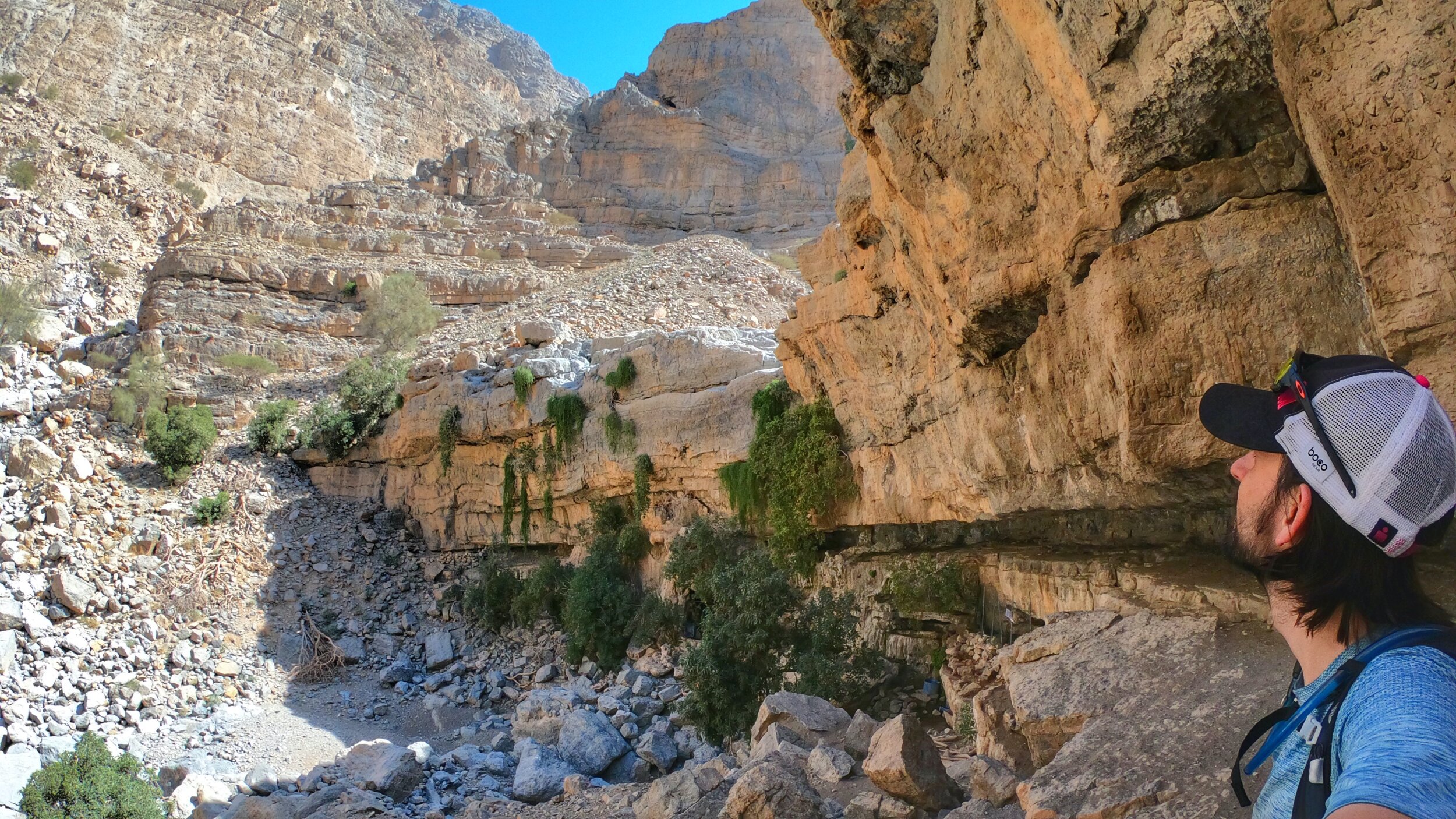
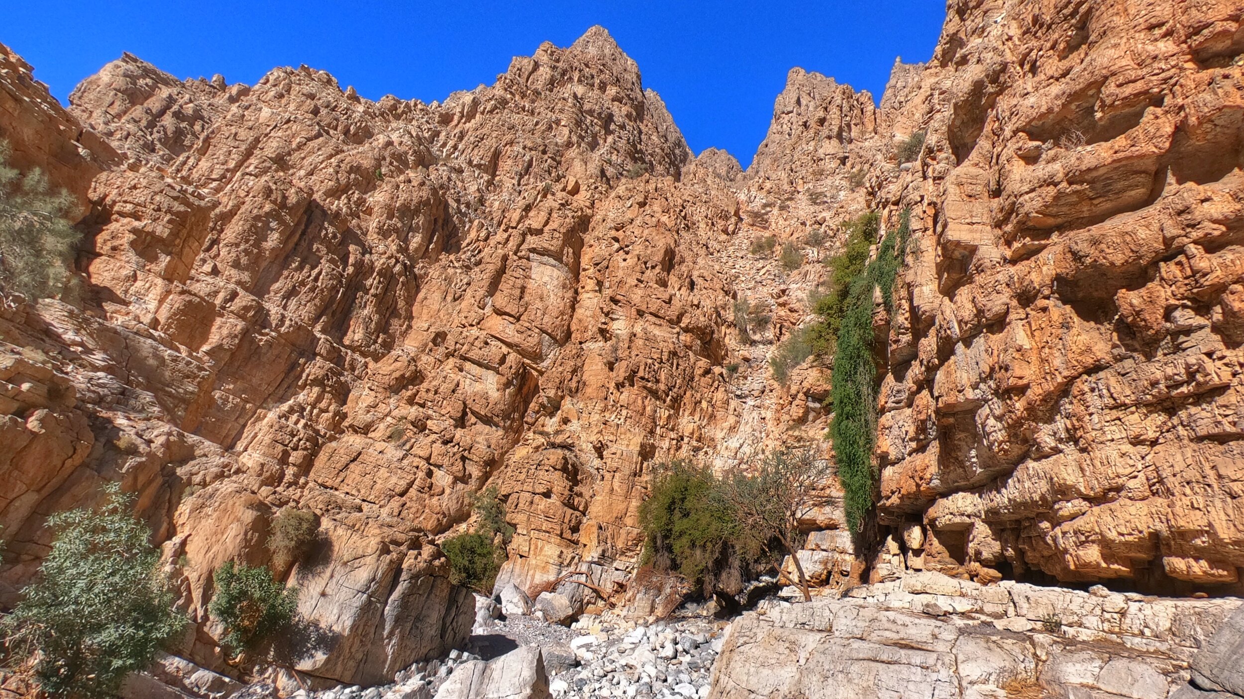
There are, in fact, no actual 'gardens' to speak of, rather two large steps in the valley, which if water was flowing, would make for two impressive waterfalls. Naturally sheltered from the sun and with a smattering of vegetation clinging to the sheer rock faces and a series of low ceilinged ledges, this felt like a lovely place to take a few minutes in order to recharge the biological batteries, snap a few pics and watch the occasional goat as they sought out some water from one of several plastic drums clearly placed here by their owners.
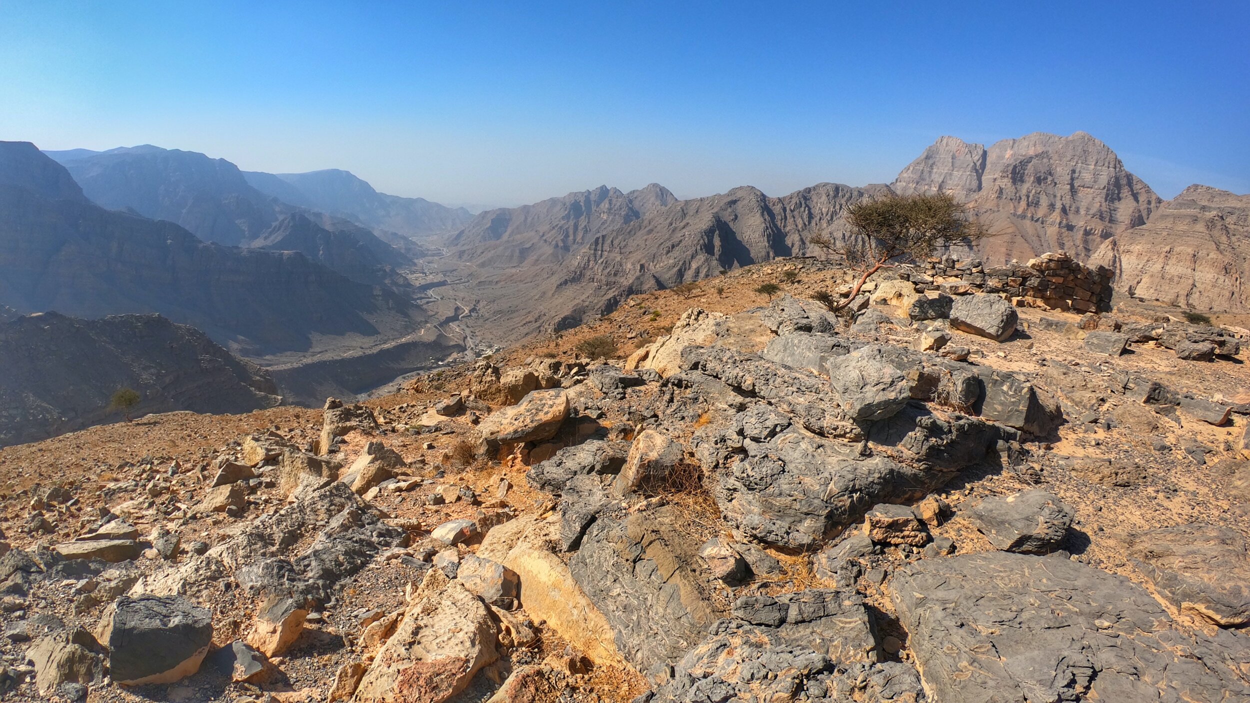
From the first 'garden' the route heads up the left hand side, into a scree slope that threads up to a rock ledge. Walking along this ledge ultimately brings you onto the top of the second 'garden,' with a bit of scrambling required to reach the very top of the entire section. The views down the valley from here are spectacular and it felt like an immense privilege to have them all to myself.
Leopard Canyon
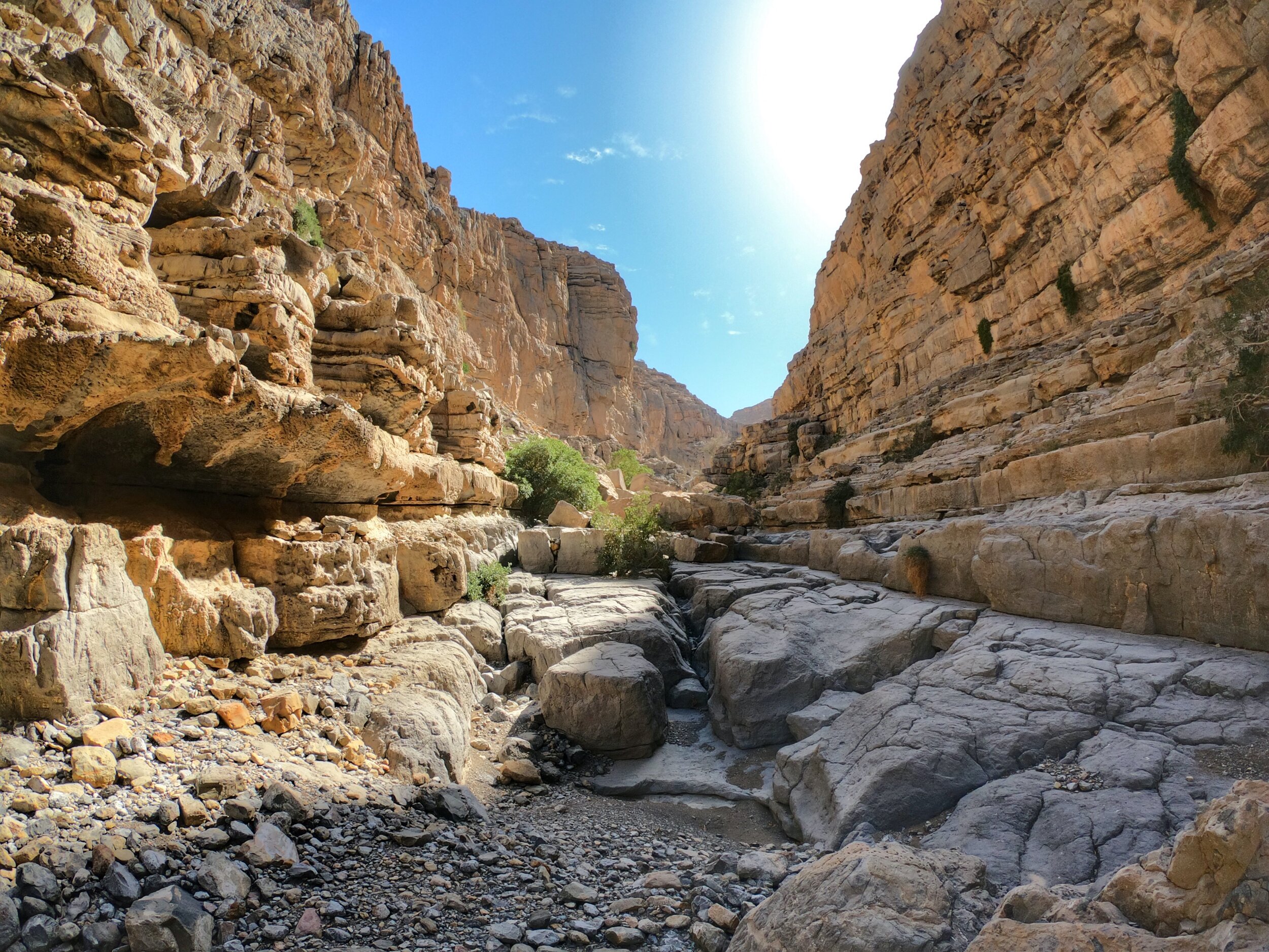
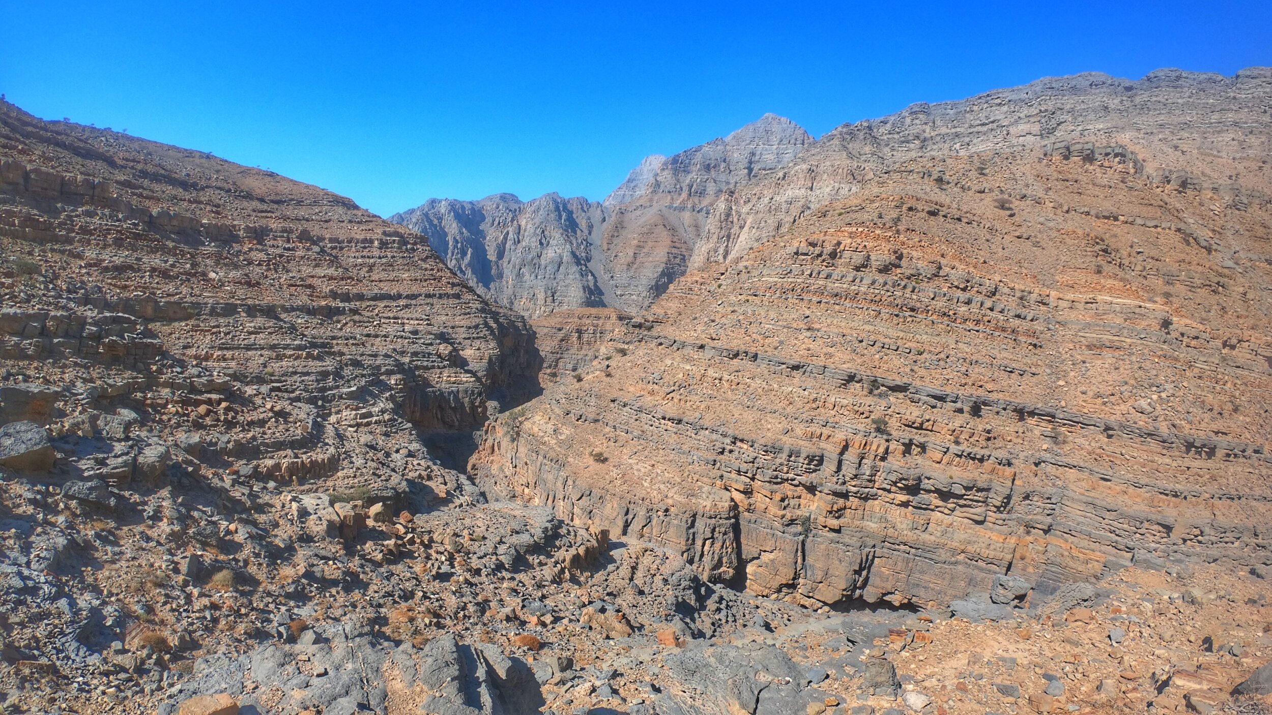
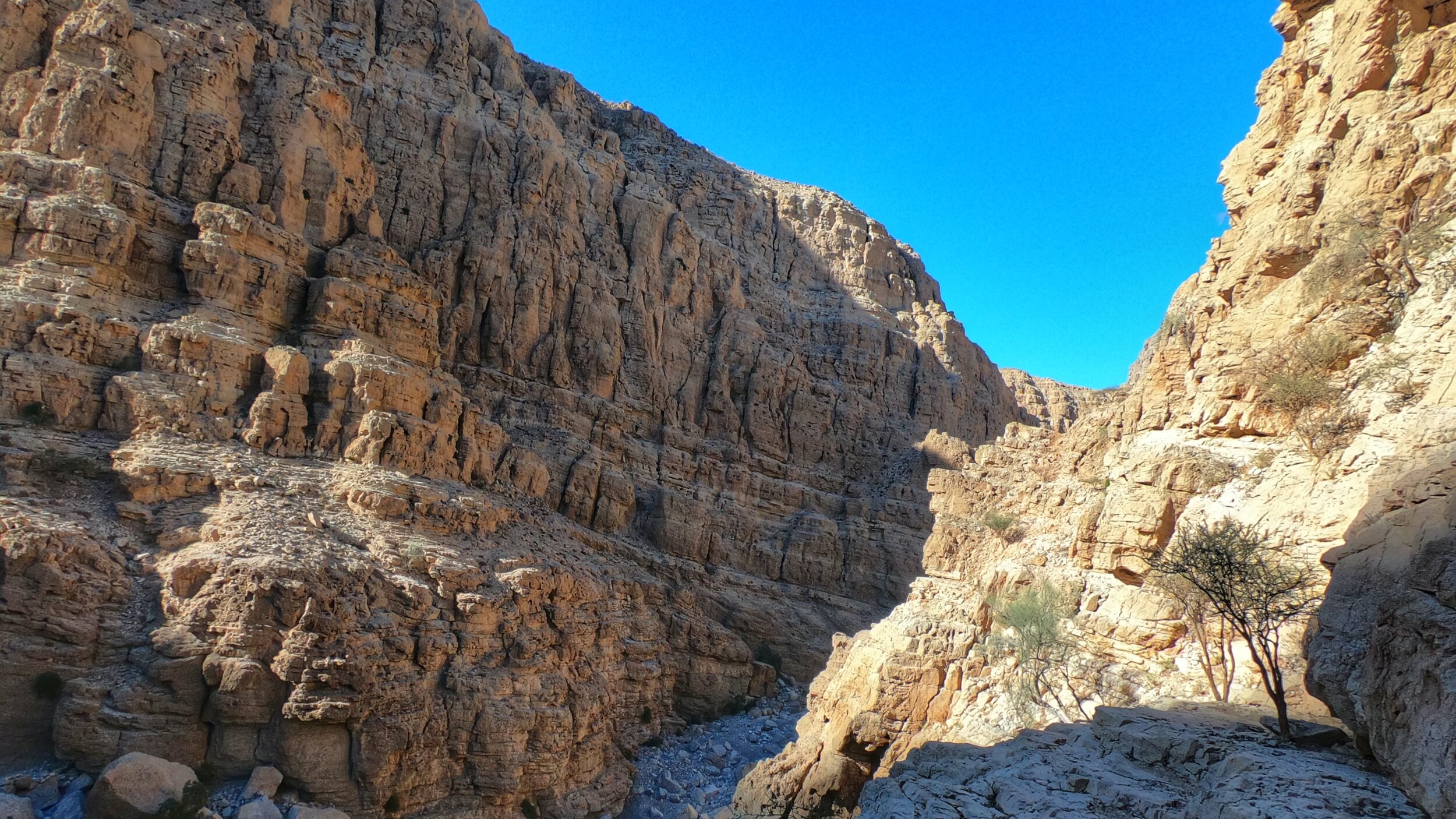
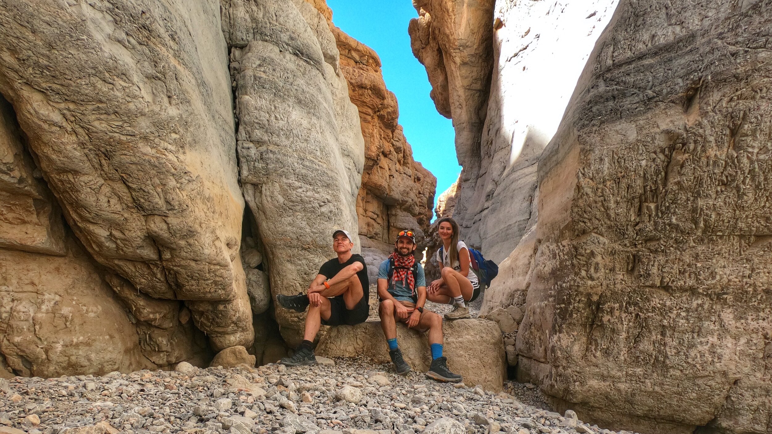
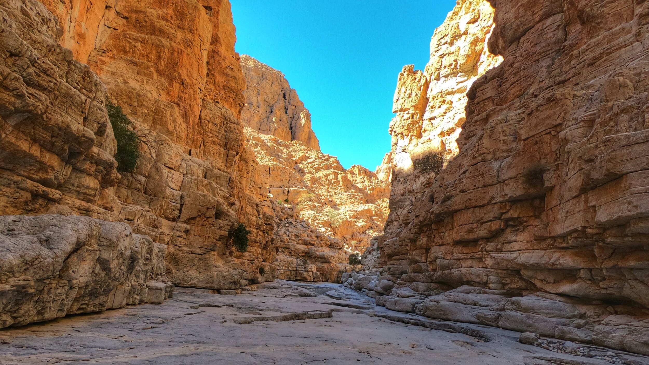
This part of the hike marks the start of the actual canyon itself and as the trail weaved ever deeper inside and the cliffs on either side seemed to tower ever higher, the sense of entering a hallowed place was palpable. The acoustics in this part of the mountains was almost eerie, with every footstep and crunch of the fine pebbles underfoot amplified by the canyon's narrow channel. At one point all I could hear was the recurring coo of a dove, which when amplified in such a remote, isolated spot took on an almost spooky quality.
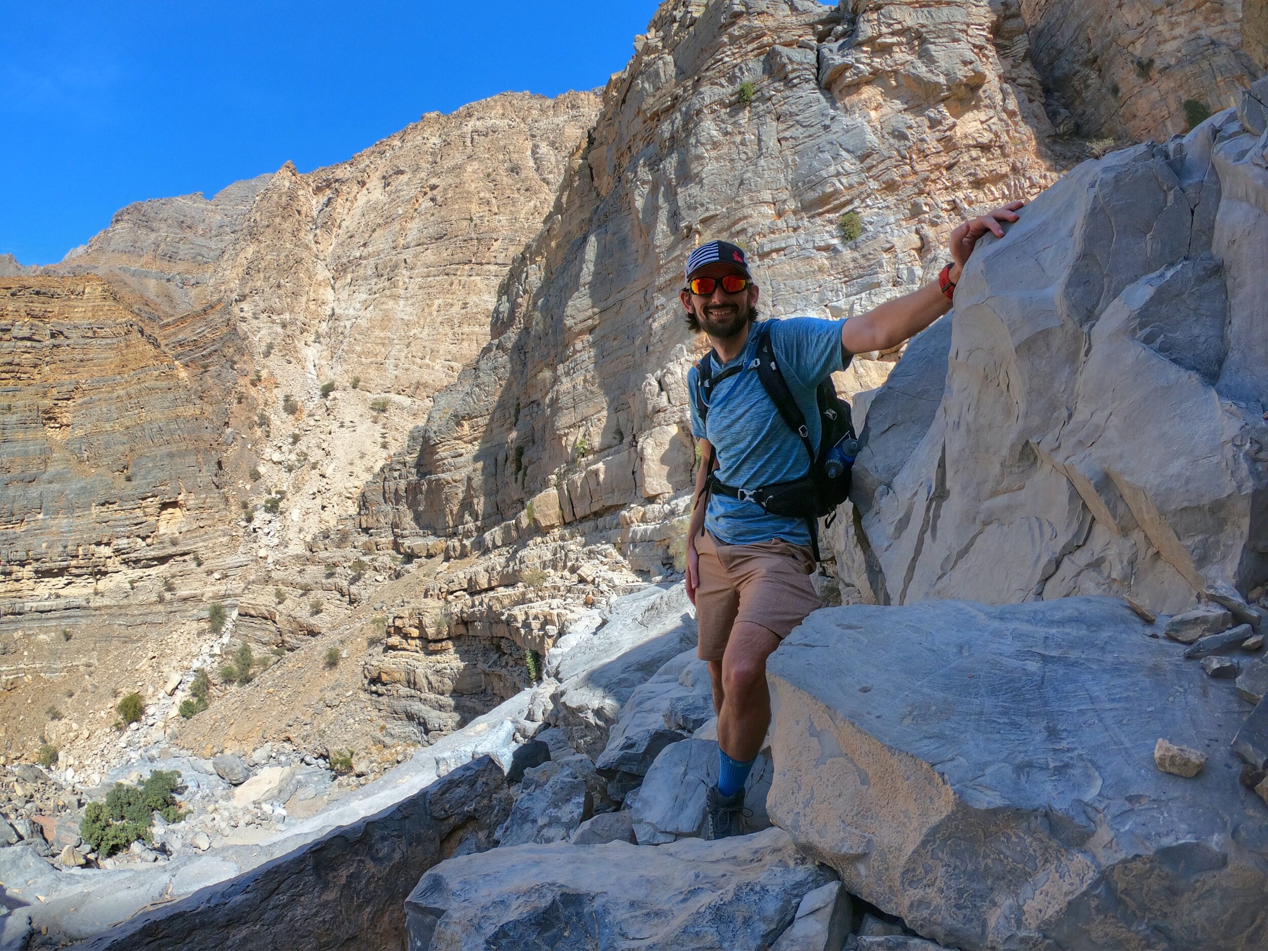
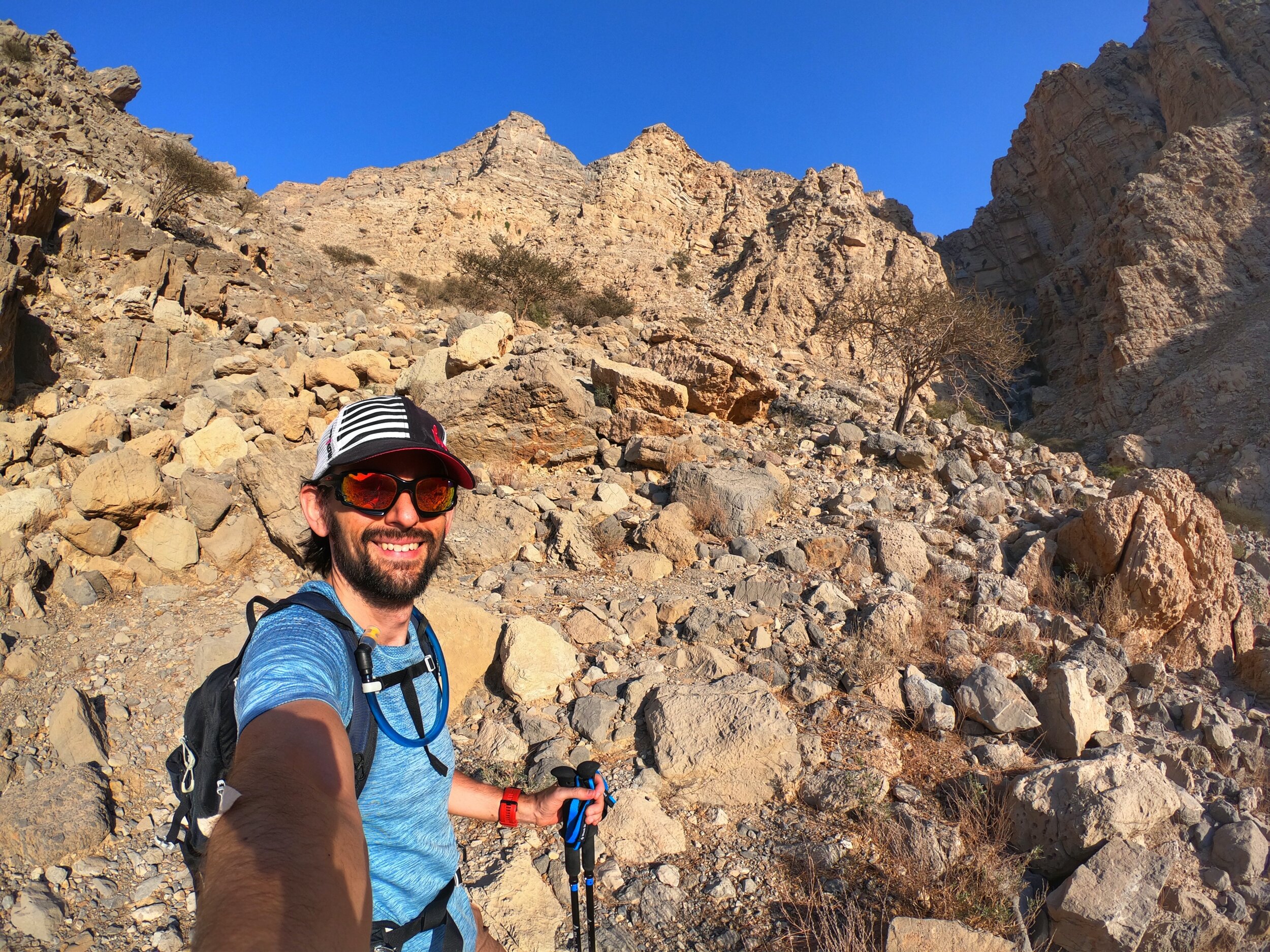
This was by far my favourite part of the entire hike, just as with Wadi Naqab, as the shapes, colours, sounds and entire atmosphere in the canyon was just magical. Traversing this section of the hike did involve a little climbing, although nothing ever higher than about 2 metres and all with very secure, reliable hand and foot holds. At no point in this earlier part of the canyon did I feel out of my depth - that was to come!
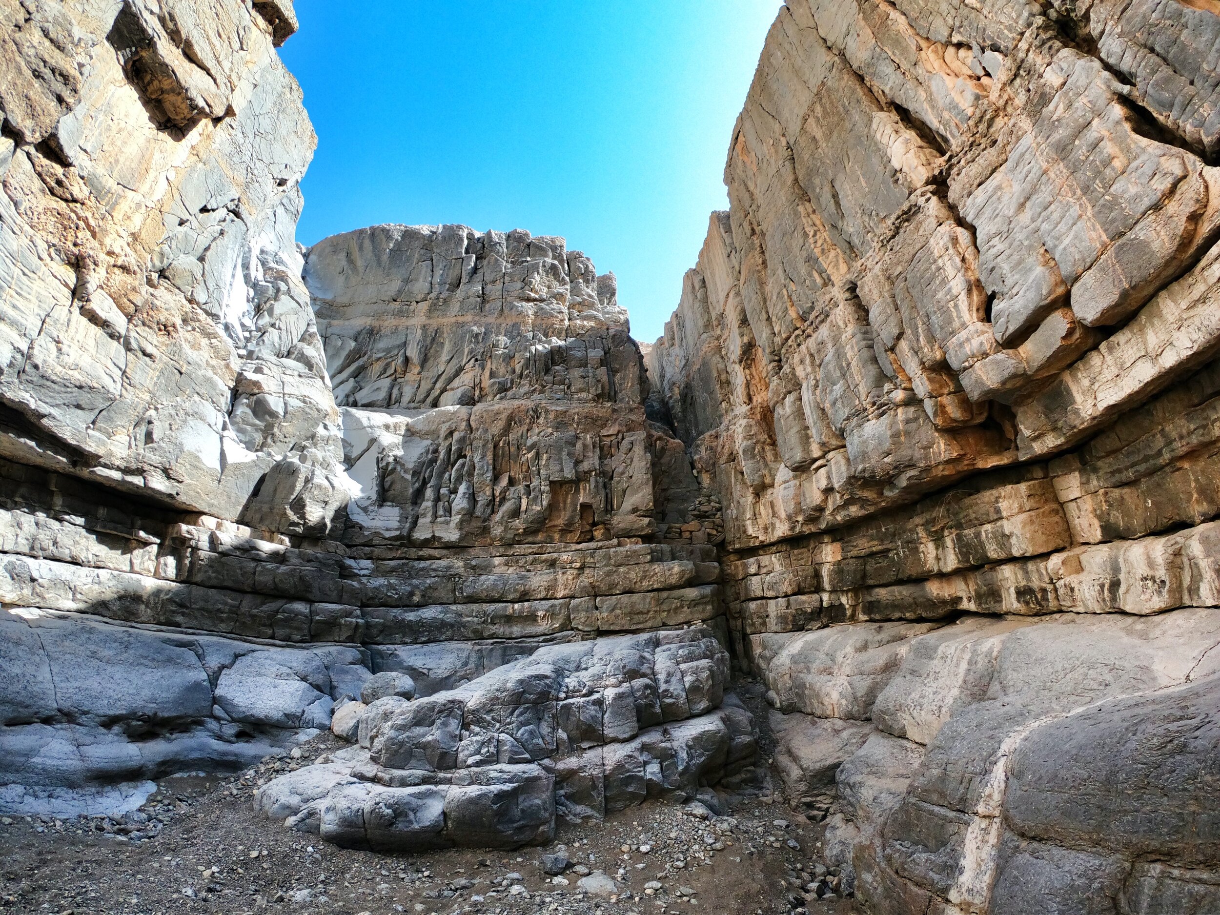
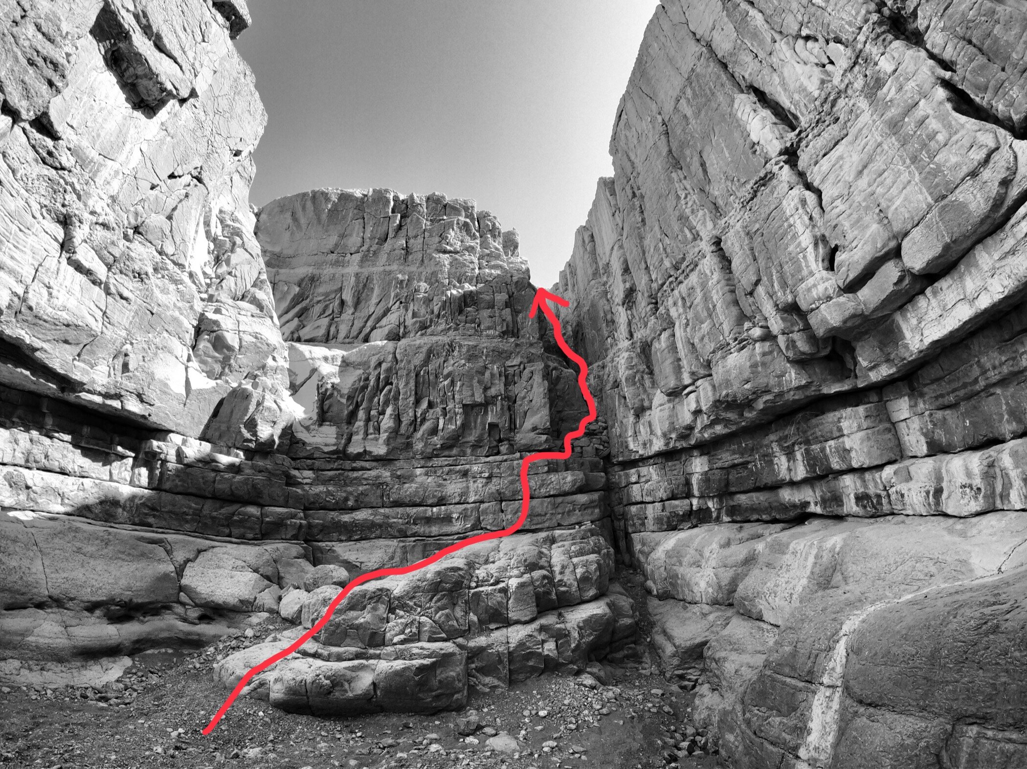
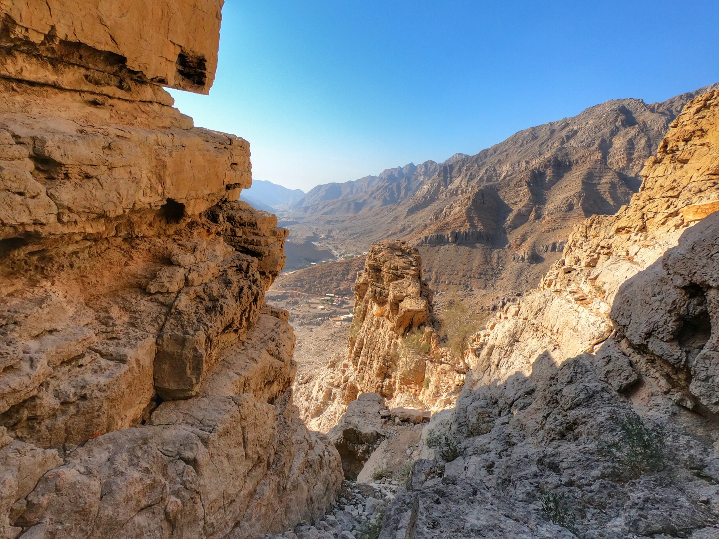
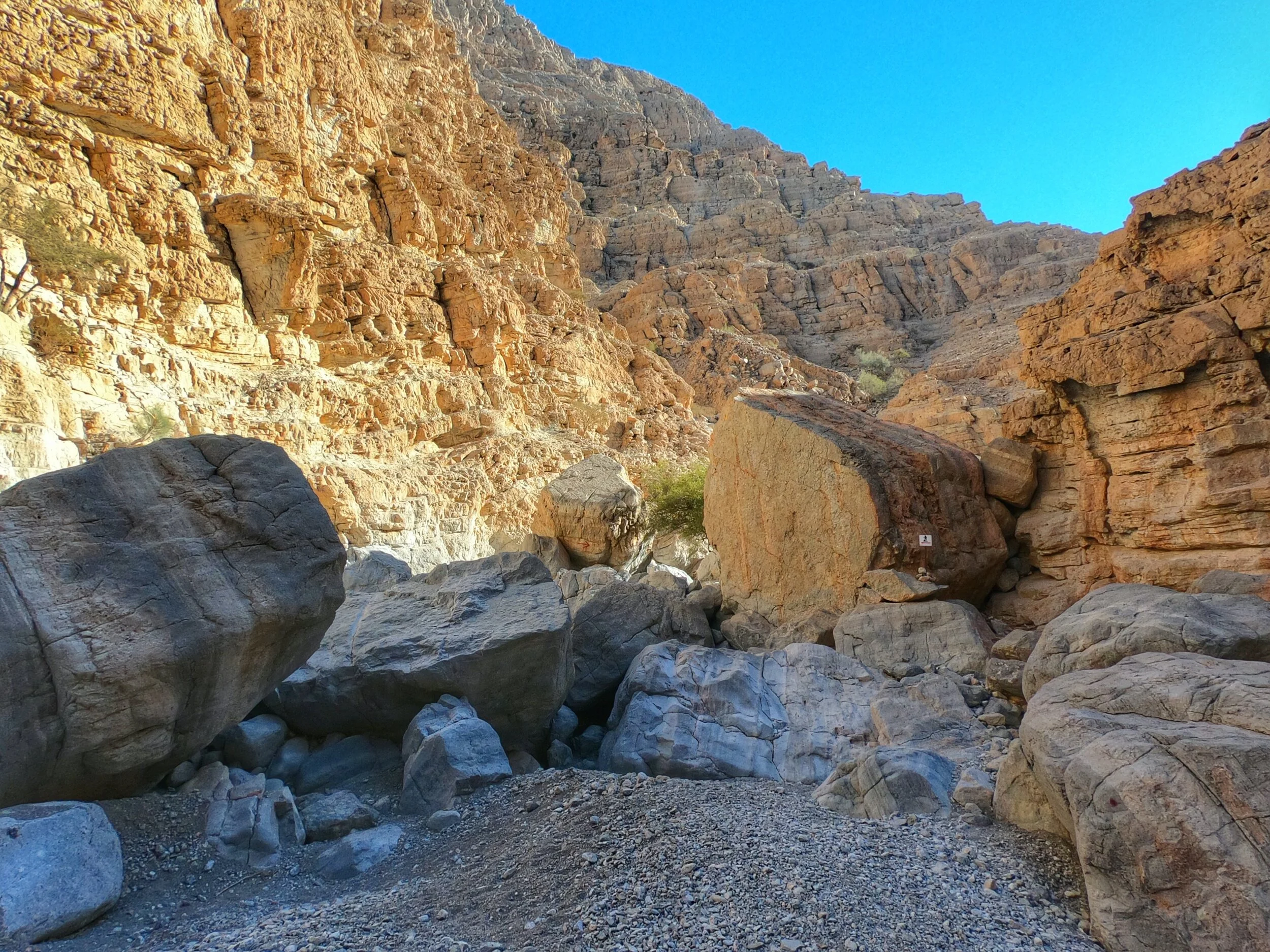
The end of the canyon section of the hike is marked by a large immovable wall of solid rock with a narrow channel cutting up and through to the right hand side. I had been expecting a section that required a "bit of climbing" and had even seen a photo of it but what I hadn't really truly appreciated until faced with it for real was that the climb was more vertical than I had been expecting, relied in large part on a bunch of piled up rocks that did not look in any way stable or reliable and, were things to go wrong, such as losing grip or a foothold, the fall to the ground was not short and happened to involve landing in a narrow split between rock faces, assuming that one managed to miraculously avoid hitting any of the rock surfaces on the way down. This was the point at which the challenges and skill level required from this hike truly hit home. As I recced the route from the point at which the stone pile was found it dawned on me that this might be too much risk for me to comfortably handle, especially on my own. As mentioned before, I do consider myself to be adventurous but not reckless, and this was starting to feel like the latter. My main concerns were what would happen if one of the footholds or grips gave way unexpectedly once I'd already committed to them, in addition to concerns about something that could potentially sting or bite hiding in one of the hand-holds. As I peaked up the rocky channel I saw a goat en route down the very one that I was contemplating ascending. Good job I checked first as that would have been just my luck: committed to a dangerous climb only to have a bloody goat knock me off! Thankfully Mrs Goat saw me and decided that she'd prefer to be some other place.
Whilst the route was now clear my head still wasn't and I could feel my nerves start to set in. As I tentatively tested the stability of the rock steps in a bid to satisfy myself that the risk was sufficiently manageable to allow me to press on, matters were not helped by one of them wobbling. At this stage I did actually down-climb a bit, pausing to really consider my options: turn back and re-trace my steps, even though I knew that the descent was going to be way trickier, especially on the scree slope, or commit to this climb and complete the circular route. After settling my nerves back down and telling myself that it would be a shorter trip to complete the circle (not ultimately the case it turned out) I climbed back up to the same spot, positioned my hands and feet, testing the stability several times before whispering a silent prayer and stepping up, thus committing to the move. There was now no turning back - I was either going to get up this section or fall, with the latter not even bearing further thought. Before I knew it I was up in one piece, the scariest part of the channel climb complete. Phew! The rest of the climb was simple as there was no more exposed vertical ascent to content with, and within a couple of minutes I emerged onto the stone platform at the top, shaking a little if truth be told. I am still not certain if I made the right decision as the thought of the repercussions of a mistake or accident at that stage still make me shudder.
Abandoned Village & Summit
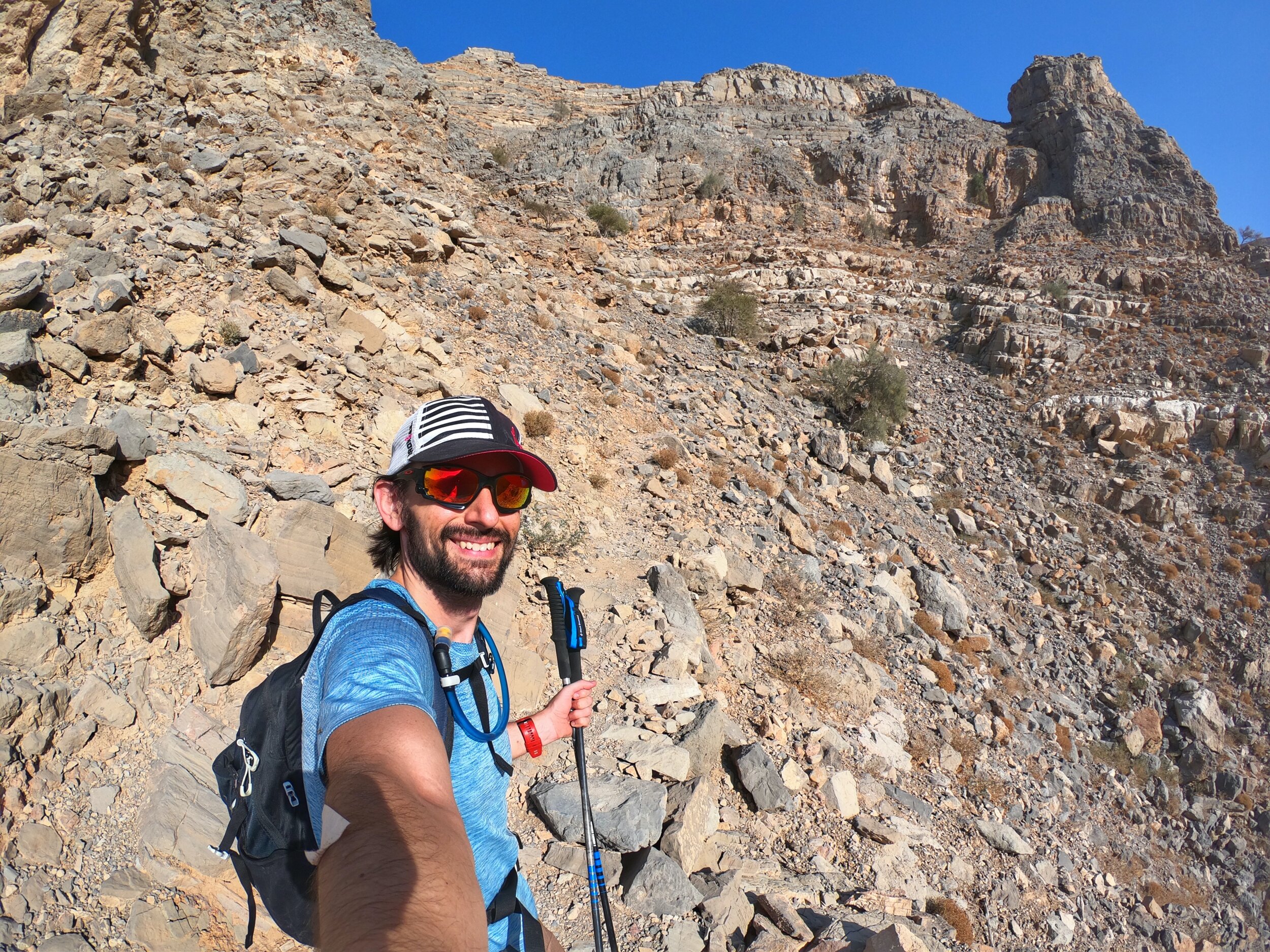
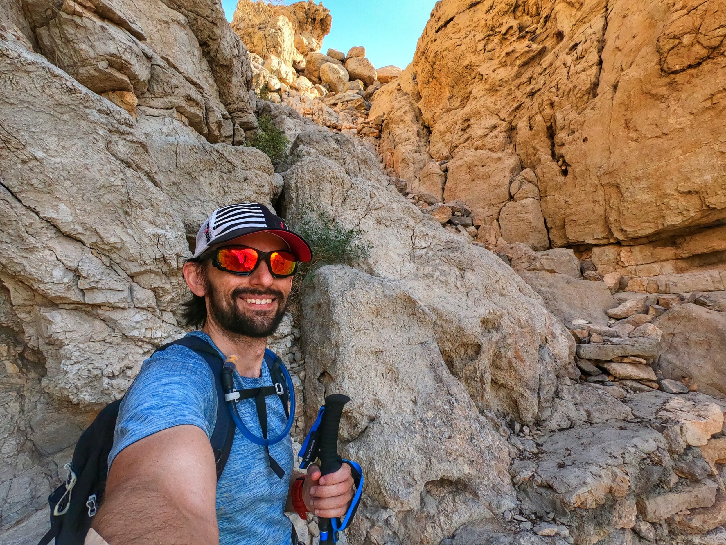
If I had assumed that the rest of the hike was now going to be plain sailing I was mistaken. As I followed the GPS trail up and along the top of the canyon slope, carefully traversing slippery and steep scree, the route suddenly seemed to skip up higher, meaning that I had to backtrack a little before doing some more climbing to try and get myself back on the trail. In the process of doing this I must have contacted a particularly sharp rock as I noticed blood dripping down my arm. Investigating the source I discovered an almost surgical slice in my right outer upper forearm, something I hadn't even felt being inflicted. So this was why one packed a first aid kit! For the first time ever I had to break out the kit, cleaned myself up and then applied some zinc tape as a temporary bandage. Thankfully it wasn't especially deep and so I was able to press on, although I was starting to lose some of the zeal I had felt for this hike earlier on in the day and was very much feeling tuned in to how remote this part of the mountain really was.
It therefore did not help my feeling of ease when all of a sudden there was a movement on the slope, and out from the grass slithered a snake! Holy s*@%! Just what I needed! An encounter with a bloody snake! As I paused, so too did my serpent friend, both of us simply watching what the other was doing and, I daresay, both intending to go in the opposite direction to the other. After a spot of research back home I think what I had come across was a Wadi Racer, a mountain dwelling snake that feeds on rodents and insects and is not really venemous, although I did not know that at the actual time. All I was thinking was, "uh uh, here and now is NOT the time to be dabbling with snakes!" I carefully peeled off left whilst Mr Slither headed right and thankfully that was the one and only snake I saw the entire day, although I was very much vigilant and keeping a keen eye out for them.
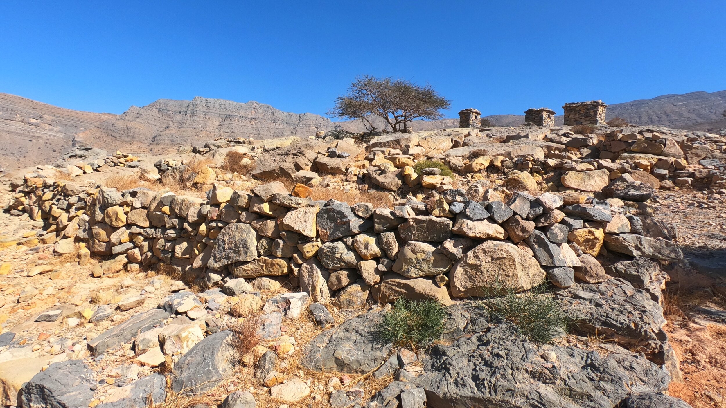
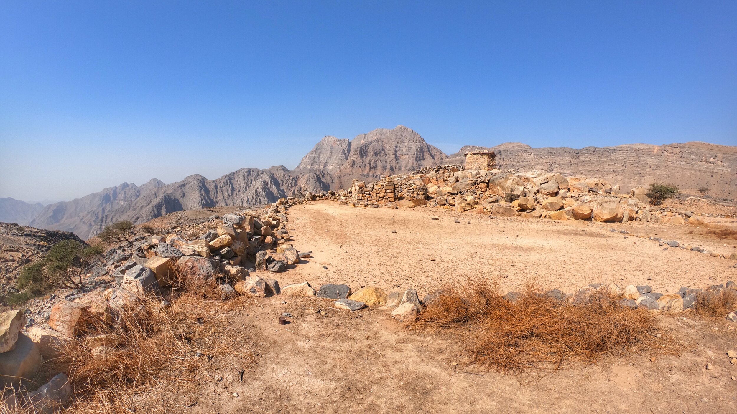
Eventually I crested the summit and saw the abandoned village on top, although some of the houses did look as though they were in good repair and being lived in. Having said that I didn't see a single other person at any point during the walk through this section so maybe it truly is abandoned...
The Descent
At the other side of the abandoned village I was eventually able to see down the steep wadi to the farms at Wadi Ghail, and essentially the finish point. This was a huge relief as I was finding it tough to really wholeheartedly trust the GPS route I had and was quite keen to get back down to civilisation in one piece. The route down was incredibly steep and my trekking poles definitely came into their own for this section. Once again there were points at which the route I was following seemed to skip over to another line and I found myself having to carefully lower down a rock wall to get back on track. The very idea of having to navigate this part of the hike in the dark was incredibly sobering and I think that were that to be up for consideration - thankfully it wasn't in my case - then overnighting at the abandoned village and waiting until sunrise before descending would be the option with less chance of injury being sustained.
Just when I thought that I'd come down the steepest section of the day, another impossible looking incline would loom into view and I'd find myself looking at the GPS trail, scratching my head wondering whether it really wanted me to go down there only to realise that yes, it really did. One particularly narrow and steep channel had me chuckling at the apparent insanity of the way down. When I did eventually make it down onto more level, secured footing I once again counted my lucky stars and looked back up the mountain that I had just picked my way down. What a route! What a day!
Emerging from the wadi at the small road linking the two farms at Wadi Ghail, I retraced my steps back past the goats, who were all now busily tucking into their evening feed, and continued through Sal, bathed in the beautiful amber tones of the soft, dusk sunlight. With the wind now starting to pick up and whistling up the wadi, I walked on like a man on a mission, arriving back at my car approximately eight hours after I first left it, feeling tired, a little shaken but ultimately feeling blessed that I had come through in one piece, all whilst getting to go home with incredible memories, photos and video of a very special corner of the UAE.
KIT CARRIED:
First aid kit
3L water (in a camel-bak)
1L of Tailwind solution
Food - nuts, Jelly Babies, bagel
Phone
Cameras (GoPro & Insta360 One)
Long-sleeved base-layer
Waterproof jacket
Snood
Head torch (plus spare batteries)
Charging bank
Foldable carbon trekking poles
MOVING TIME = approx 7 hours
DISTANCE = 27 km
ELEVATION GAIN = 779m
Wadi Naqab & The Red Wall
Wadi Naqab, an area of the mountains to the east of Ras al Khaimah, is an area of outstanding natural beauty that a friend of mine had recommended visiting, especially since I'd started exploring more of the wonderful hikes that there are to be found in the United Arab Emirates. Located approximately 130km (1.5 hours drive) from Dubai, this seasonal watercourse channels down from the heights of the Hajar range, with rainwater pouring through a series of narrow, twisting gorges, via a plethora of plunge pools (dry most of the year), into the gradually widening wadi. The power and abrupt nature of the waters, when they do make an appearance, can be immense and I know several people, all with extensive experience of the mountains and wadis, who have been caught by surprise and had their cars claimed by flash flooding through this wadi. It is NOT an area to play in during wet and stormy weather as it's character can move from sublime paradise to hellish cruelty in an instant.
Thankfully the day I chose to visit there wasn't a single rain cloud in the sky - another classic UAE day of blue skies and pleasant (winter) temperatures. Essentially a perfect day to explore another of the country's beautiful wadis. With the fog hanging low over Dubai, the drive up north was a little slow in parts and as I turned off the main motorway and picked my way carefully through the hazy streets of small villages, the sun was not yet visible but still illuminating the scene. Then, just like that, I drove out of the fog and the mountains were there stretched out in front of me.
Given that I do not drive a 4WD (yet) I have to be a little more cautious when it comes to where and how far down unpaved roads I can venture. Keen to avoid too much additional walking either end of the hike I continued down towards the wadi until I reached a sign that very clearly stated that beyond that point it was just meant to be dam construction traffic. Taking that as my cue to park up, I found a suitably flat section of wadi to pull over onto & started preparing to head out, donning my boots and filling the Camel-Bak whilst waving to the drivers of the procession of construction trucks that were ferrying back and forth between the huge dam being built and wherever it was they were collecting their materials.
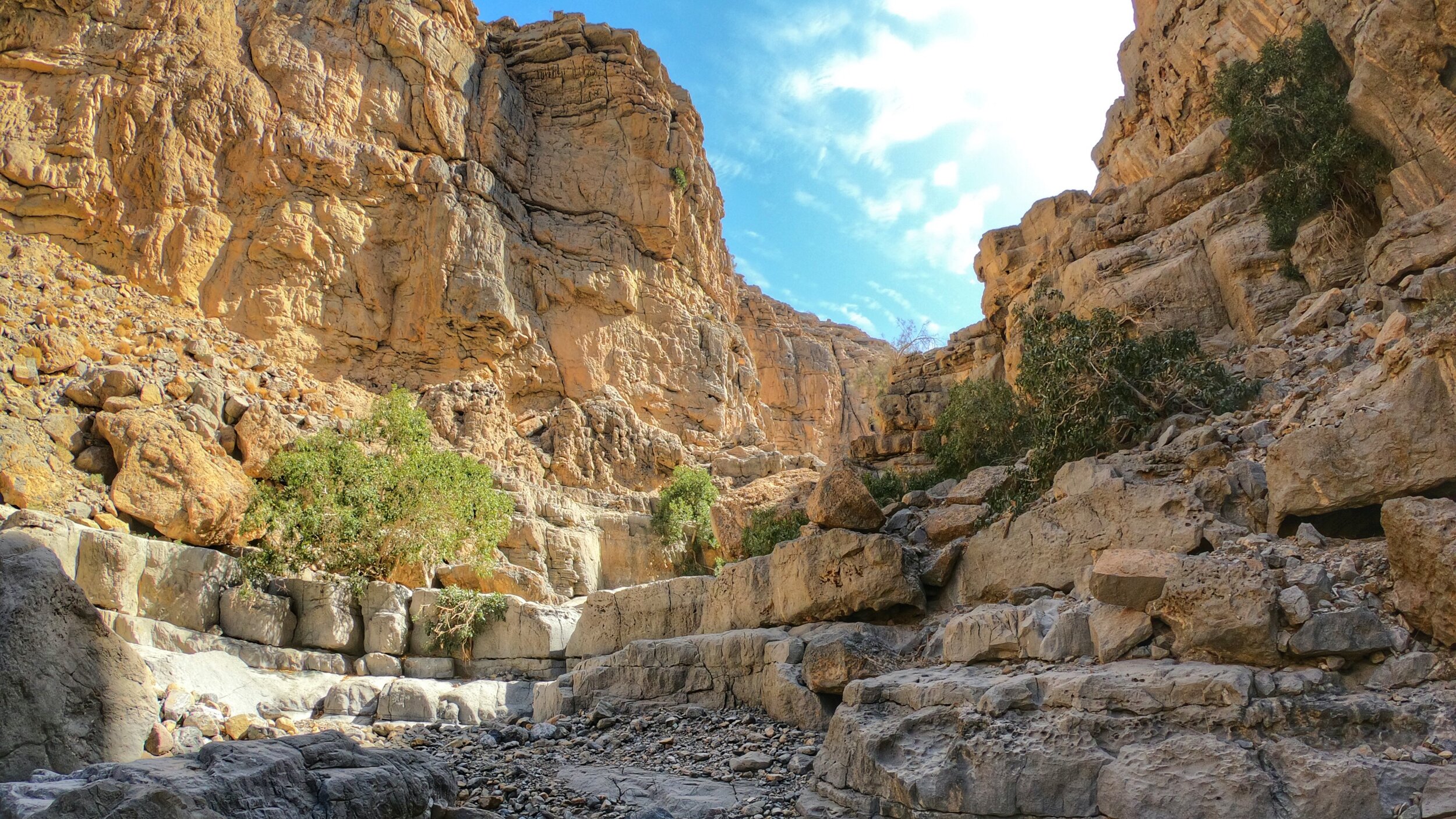
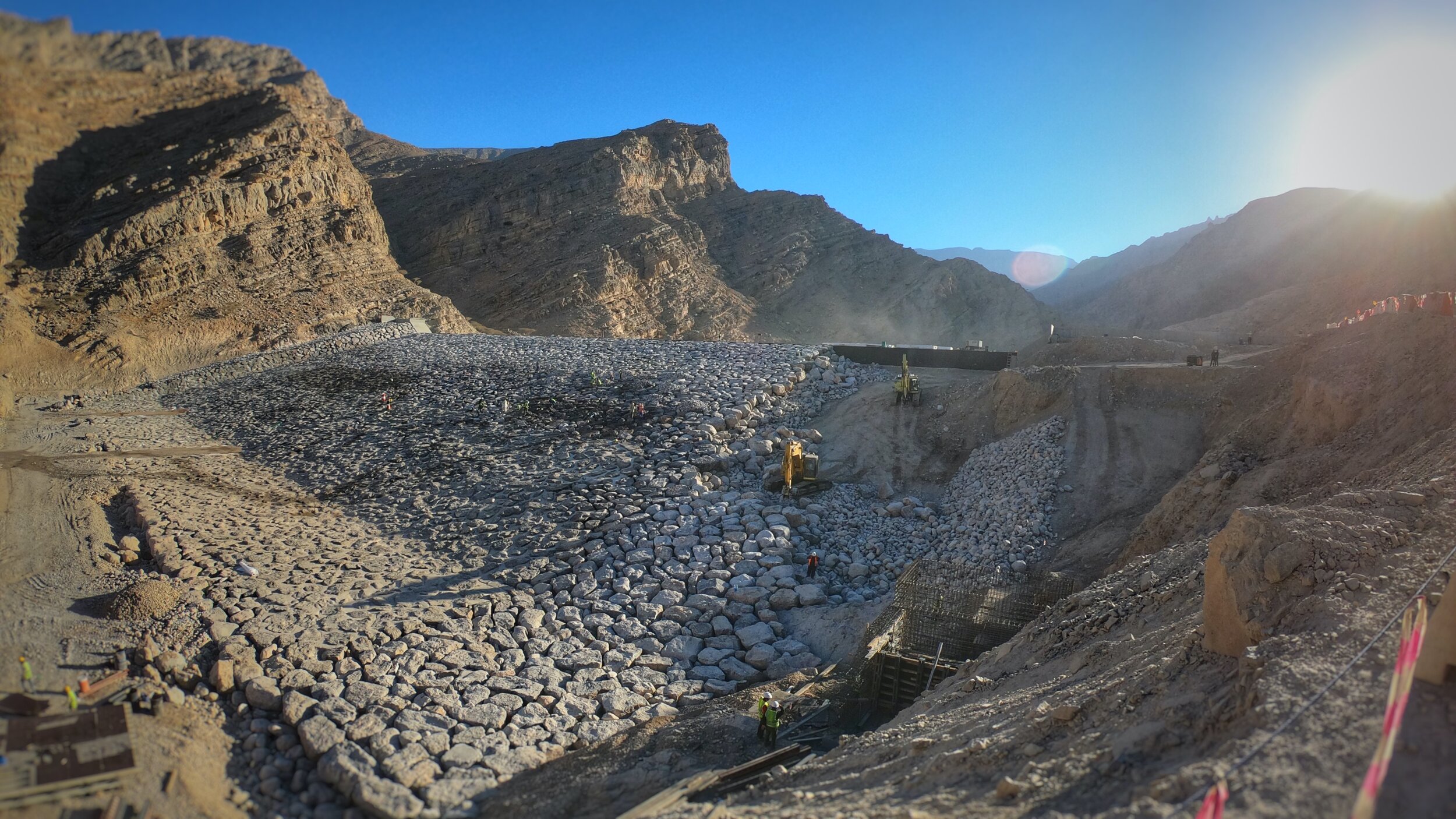
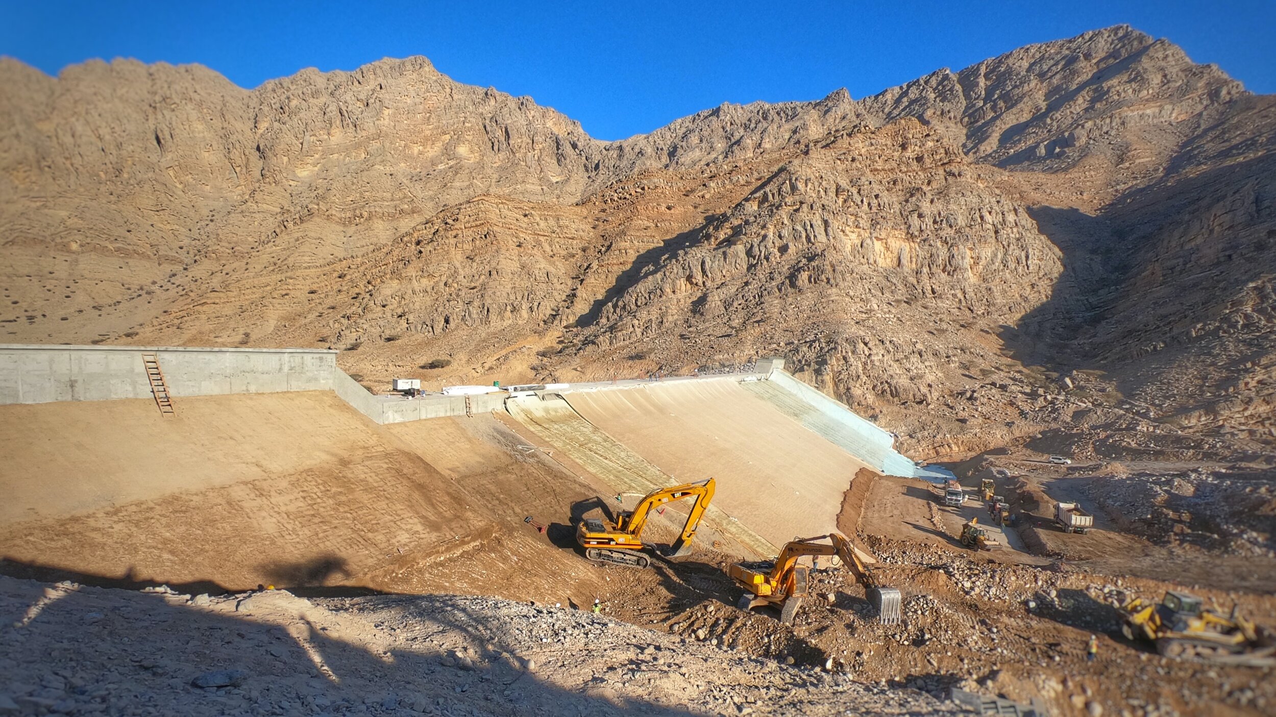
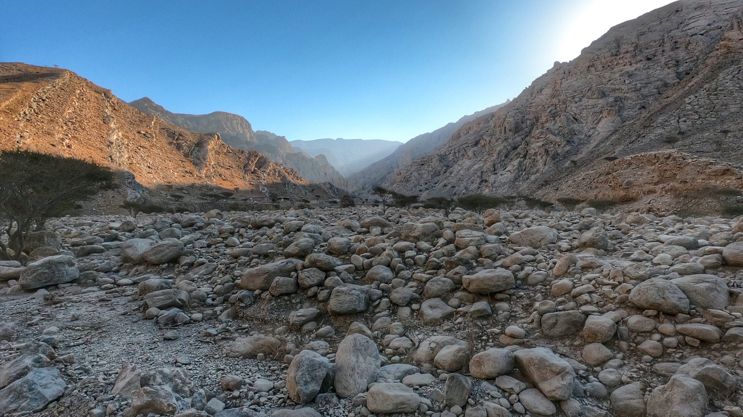
The dam currently under construction and apparently costing some $44 million to build was an impressive site, especially given it's size at over 250m in width and, apparently, 20m high. It will be interesting to return and see it full once it's finished and the waters arrive. Moving further along the wadi, which cuts into the Yanas mountain, the sounds eventually transitioned from the clanging of construction to the chirping of birds, buzzing of insects and the ever-present bleating of the ubiquitous goats that frequent every part of the mountains here. What I love about many of the wadis here is that the deeper you delve into them the more incredibly beautiful the landscapes become, with Wadi Naqab being no exception. The steep sided, multi-layered yellows, browns and reds of the moonscape rocks here point towards the fact that they were, once, part of a prehistoric seabed, a fact that I always find utterly humbling and that drives home how fleeting our time as humans has been on this planet.
The good thing, generally, about wadis is that there aren't usually too many points at which to get lost - you either walk in one way or you walk out the same way. However, at one point the wadi does indeed split in Wadi Naqab, with the right hand heading vaguely south through the mountains whilst the left fork heading on towards the Red Wall, an impressively sheer cliff face that gets it's name from the reddish colour that it adopts in certain light. So far, up until this point I had been the only person out in this part of the wadi, that I was aware of, although there was a car parked up a little along the right hand trail. A little way towards the Red Wall I was aware of a 4WD approaching from behind, which stopped to check on directions and offer me a lift. I confirmed that, as far as I was aware, based on the map data I had, we were all indeed on the right path to the Red Wall and politely turned down the lift, preferring instead to continue walking. I soon met up with the same car and ended up spending the rest of the day with Andre, from South Africa, and Rosa, from Italy, as we continued into the real hiking of the day, leaving the car under the watchful eyes of the goats.
After some initial bouldering and picking our way through the wadi, which was definitely becoming wilder in it's appearance, the trail tracked to the left and we began climbing, finding ourselves walking along exposed ledges with the wadi floor laid out below us. At no point did the trail feel unsafe, being easily wide enough and well trodden to satisfy even the most cautious hiker that they were in no real danger. Before too long we had a choice to make: climb up the slope of collapsed boulders to the right of the Red Wall and see where that path took us or continue round to the left, via a short, narrow ledge that had a metal rope anchored into the rocks to serve as a via-ferrata-style hand-rail, delving deeper into what was now becoming more of a canyon. We opted for this latter option, walking past a large UAE flag pinned to the cliff wall and entering what a sign told us was Wadi Koob.
There were, as before, photo opportunities abound, from the black rope scaling the smooth slopes of the dry waterfall, to the low ceilinged ledge along which we crawled in order to continue our exploration but that also appeared to be a particularly popular latrine for the goats. The canyon got narrower and narrower, whilst the sides became steeper and taller, the acoustics becoming more echoing and surreal. Before long, however, we arrived at a pool of water that whilst on initial inspection looked filthy, was actually very clear once the surface layer of dust and algae was disturbed. Any further progress would have required some ropes and a head for heights that none of us had that day and so we retraced our steps back to the car and the end of what had been yet another amazing hike and discovery of the natural wonder of this part of the UAE.
DISTANCE = 23km
TIME = approx 5 hours
Woh Village Hike
Jebel Jais - Hiking
Wadi Running
Whistler 50 Miler
Initial Apprehension
If truth be told I was apprehensive about this race in spite of the the weeks of good, solid training that I was fortunate enough to be able to commit to, with more time at hand on account of being on a sabbatical and setting my own schedule, the plethora of amazing trails and run routes on offer around my apartment and Vancouver in general, and the availability of both gym facilities and a high spec athletics track a mere stone’s throw from my place. So as far as training went I was, on paper, set for a great race. However, concerns remained as in spite of feeling physically fit - in fact, as fit, I think, as I ever have, save perhaps for when I was at peak Ironman training - I was concerned that my mental game was going to let me down, especially coming off the back of not completing the Eiger 101 and the issues I had halfway through my last 50km race back in Dubai, when I hit a mental wall big time. Ultras are unlike any other endurance sport I have engaged in so far - they properly mess with your head in addition to the sheer physical demands that come with running such long distances. As much as I would love to claim to be the most mentally resilient athlete there is I know that I’m not and my tolerance for real discomfort is actually pretty low. So why did I choose this sport again?!
Whilst the distance was set to be longer than anything I’ve run to date - Wadi Bih was 72km - the profile, according to that published on the event website, was relatively tame in comparison to many alpine races, a product I imagine of the fact that the event’s primary focus was on the team relay, a really fun event that gets loads of teams out for the day, many in fancy dress. That doesn’t mean it was a walk in the park, especially with most of the climbing taking place in one relatively short but intense section of the second loop.
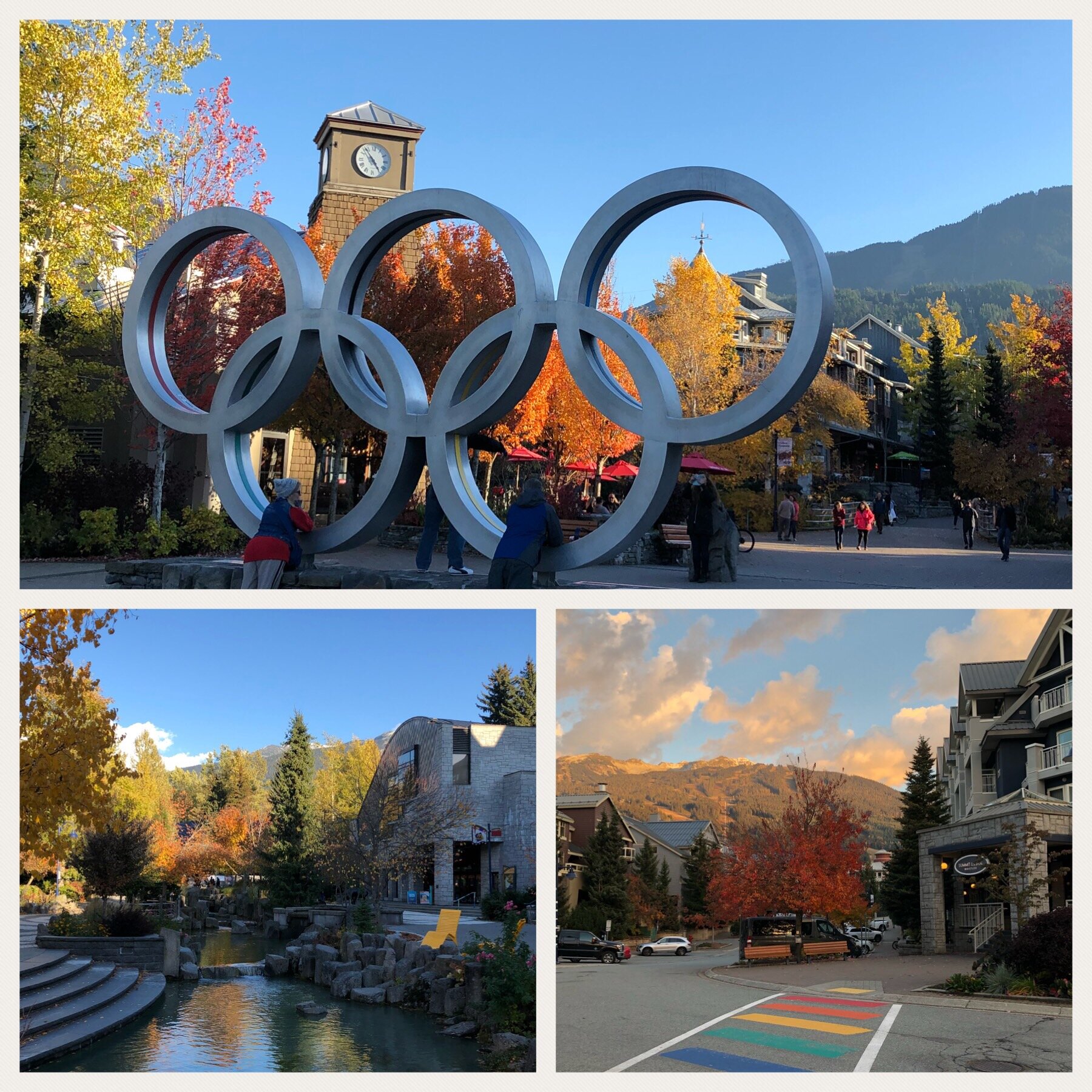
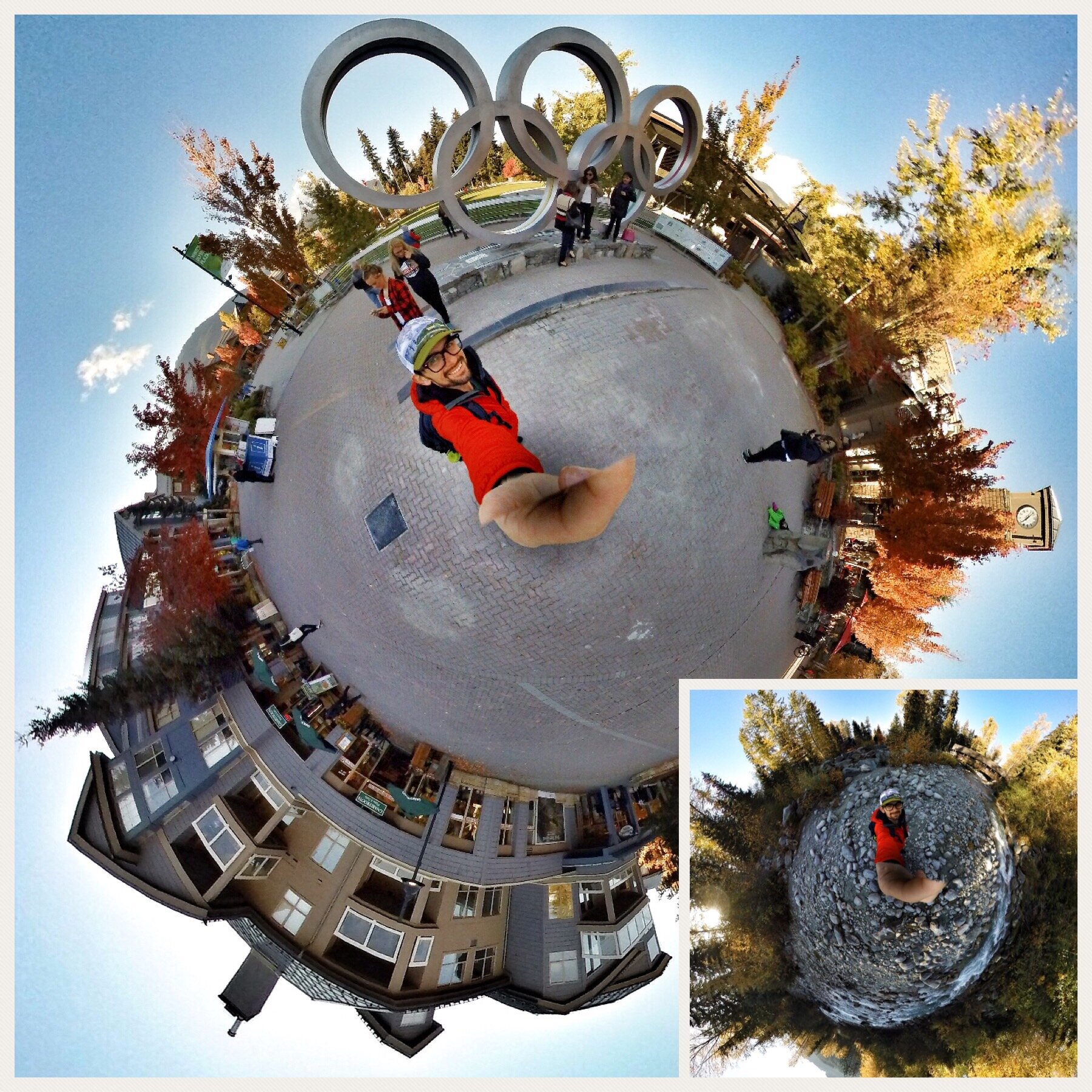
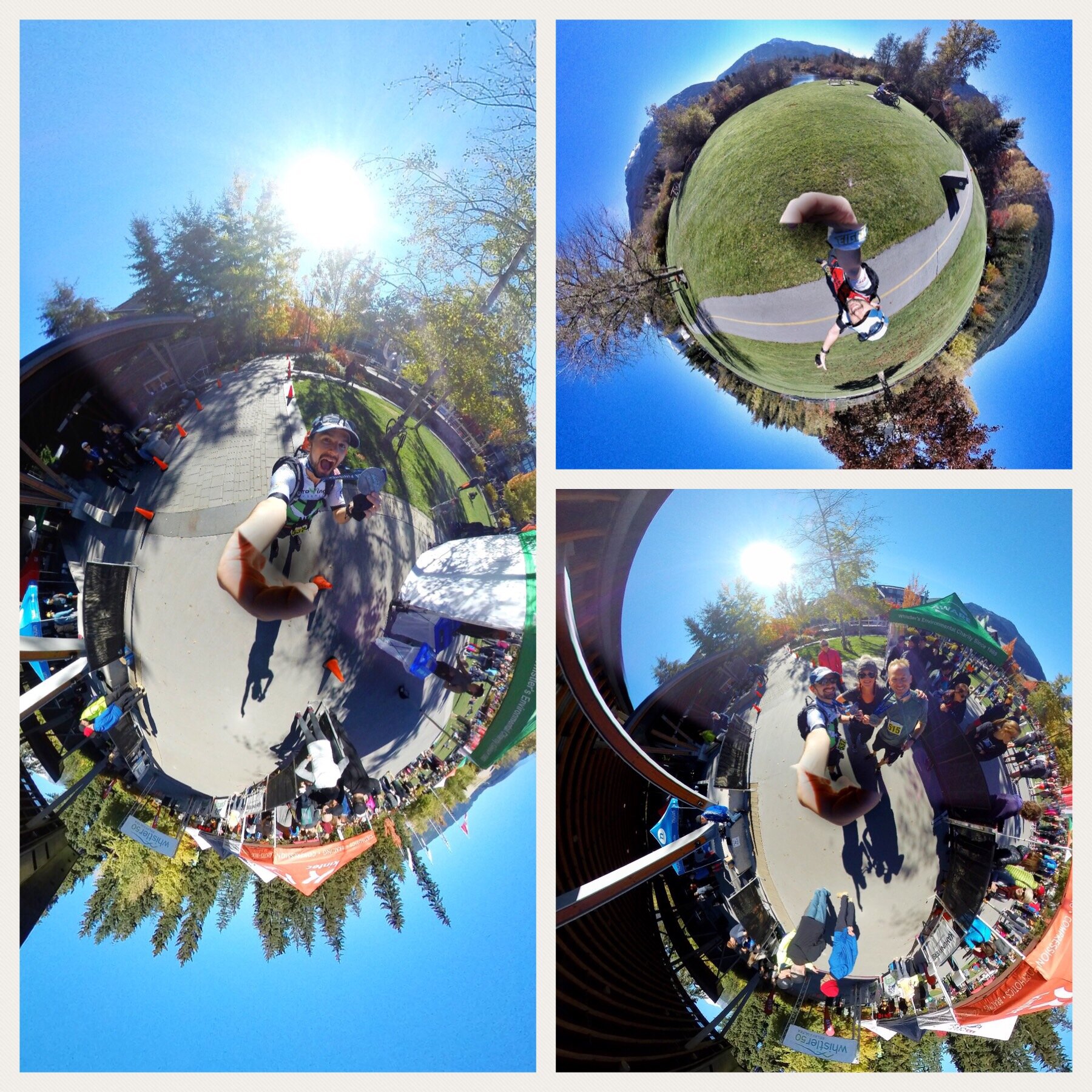
The course itself comprised four repeated loops of 20km each, with those then split into two separate loops that started and ended back in the Olympic Plaza - yep, complete with giant Olympic rings - right in the centre of Whistler village. The first of the two was 13km and essentially traced a course around the perimeter of the golf course and was almost entirely on paved surface, whilst the second felt a little more ‘trail.’ That one was shorter, at 7km, and headed out from the village along the river as it tumbled and rolled over boulders and rocks on its long route from peak to sea, before climbing up to and past Lost Lake, providing absolutely breathtaking views and a picture of alpine serenity, before descending back down to the river and the village. The looping nature of the course meant that we were able to access both the main aid station and our drop bags multiple times, a blessing for the most part but, as the race wore on, the mileage ramped up and the fatigue really started to set in, a real temptation to take perhaps too long between loops and, with those mental niggles becoming louder shouts, an easy option to throw in the towel.
Nutrition has, in previous races, been an Achilles heel of mine and has almost certainly played a role in some of my tougher moments. Basically the issue is that I just don’t eat enough during the race and when I do start feeling hungry then unfortunately that is often the point at which it’s too late to really make a significant difference. As such, a priority for me in this race was to pay closer attention to eating and drinking enough to stay hydrated and adequately fueled. Whilst I do have Tailwind, the liquid nutrition that many in the ultra community appear to use, I am yet to get my head around, or even my stomach for that matter, the recommendation to consume the quantities they do. As such, I still very much make use of good old fashioned ‘solids,’ with my particular choice of fuel for this race coming in the form of various candy bars (Snickers & Mars to be specific), bananas, cereal bars and, at the halfway point, some mouthfuls of delicious beef jerky, which does absolute wonders for sating that inevitable salt craving that develops at some point and, well, just a nice break from all the sugary shit. In hindsight I probably should have eaten more still, as there were definitely some moments when I did actually feel hungry and I know that my fluid intake should definitely have been greater. I had been pretty good during the earlier stages of the race, remembering to sip regularly and feeling happy to have to visit the little runners room now and then, but as the day wore on and my mind became set firmly on the finish I confess to taking my eye off the ball and consuming less. The fact that I finished the race with some of my original 2 litres of fluid in my pack somewhat drove this fact home as I had fully expected to fill it at least once or twice during the day. Definitely something to ruminate on in preparation for future races.
Pre-Race Prep
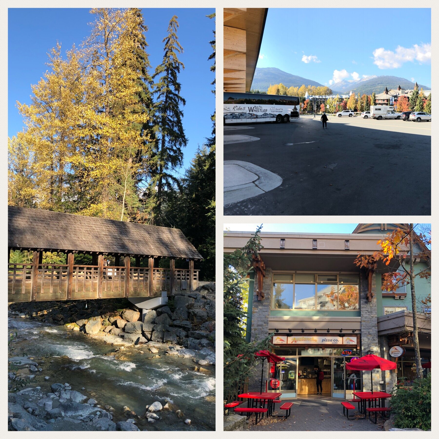
One of the advantages of being free to set my own agenda - primarily on account of the VR/AR “course” I came to Vancouver to partake in turning out to be a dud, thus forcing me to go completely independent - is that I was able to take the time and head up to Whistler in advance of the race, get settled and not have to rush come race day. The easiest option was to book a seat on one of the various buses that operate a shuttle service to and from the resort, with Epic Rides being the operator I ultimately chose, paying CA $35 for a ticket each way. The advantage of just getting to kick back on a bus was that a) I was able to actually enjoy the views en route rather than focus on not killing myself behind the wheel, and b) eliminated all the expense and hassle of dealing with a hire car. After all, I wasn’t planning on doing any driving once up in the mountains anyway so having a car parked all weekend would have been redundant.
Another advantage of the bus was that it was a nice way of meeting some new people, with one person being a fellow solo ultra runner, Ingrid, who originally hails from Brazil but is now based in Victoria, BC and was heading up to Whistler clearly looking to put in a good solid performance.
Once in Whistler I was struck not by the overwhelming beauty of the place, because, well, I knew it was going to be and had been able to admire the changing scenery en route, but rather by how happy I felt to be back up in the mountains. For a lad who grew up in flat, rural Norfolk I do have this affinity for peaks that means that I just feel happy in the mountains. It was the same in Tahoe, the same in Switzerland and now here in Canada - there is just something mesmerisingly majestic about being able to peer up and drink in the view of snow-capped mountains, knowing that they’ve been there way before us and will, almost certainly, be there long after we’ve all pushed ourselves out of existence. Its humbling. Levelling.
The town of Whistler was much like the ski towns I have visited in other parts of the world, and as I strolled down through the village in search of my hotel the usual, familiar names were evident - Patagonia, North Face, Starbucks etc - albeit sitting alongside as many independents. It was clearly a popular town and was busy even in the absence of any skiable snowfall. My hotel, the Summit Lodge Boutique Hotel, was located just a stone’s throw from Olympic Plaza and the main focus of activity on race day, and was extremely comfortable, even coming with a hot tub and pool, welcome amenities when it came to after the race.
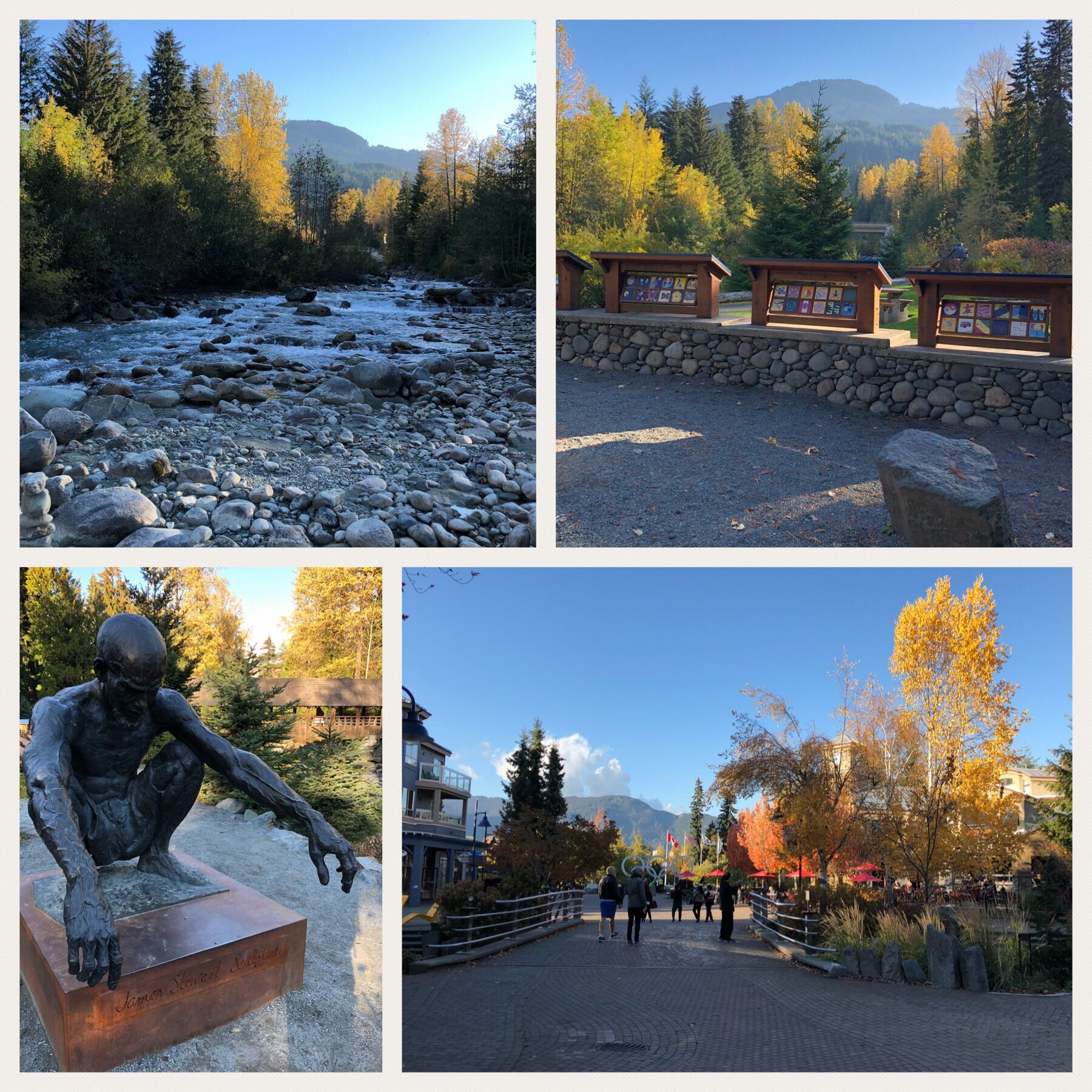
It took a good amount of willpower not to give in to the temptation to wander off on a long hike such was the allure of the surrounding countryside and the fact that it was a stunning Autumn day, although I did do a decent explore of the town itself, stopping off for some exquisite pizza and sitting by the river to join the Thinking Man sculpture in some quiet contemplation - good spot for it! At 5pm we were able to call in and pick up our race packs, with the solo runners dealt with at a smaller table by the race organiser, Ron. Apparently there were about 44 runners registered in total for the race and so it was set to be a great day, especially with the forecast remaining as good as it had been all week - quite the contrast to the year before by all accounts. I was definitely going to need to remember to pack my camera for the race!
With my race gear placed out, nutrition organised and bagged up and one, final high-carb meal safely put away I was tucked up in bed by 9pm, meaning that I actually, remarkably, got a full 7 hours of sleep in by the time the alarm pierced the ambience in the morning.
I was eager to get going and see what the day had in store. I knew I’d prepared, I knew I was fit and I knew that I was feeling as good as I could expect to just a short time away from hearing the starter’s horn. As such it was just a matter of going through the usual race-prep motions: food in, anxiety out, get dressed, final bag checks and then head out the door. Given the forecast for very chilly temperatures to start I opted for multiple layers fully expecting that I had likely overdone it and would be removing at least one a short distance into the race. In the end, however, my choice of trail top, thermal layer, cycling thermal layer, gloves, snood and a beanie proved to be more than required and all remained in place for at least the first two laps of the course - it was freeeeezzzziiiinnnnggg!!!
Race
As 6am rolled around those of us mad enough to choose to run 80km collected at the start, having dropped off our aid station bags, and counted down until we were officially off! My tactic, as far as I had one, was to keep my pace really steady to start, aiming to run no harder than would have been comfortable to chat at and to focus on remembering the route as best I could. It was extremely dark for most of the first loop, with headlamps mandatory and actually very much needed. Whilst the views in the dark were lacking it did help to ensure that focus remained on running sensibly and on both eating and drinking regularly. To say that there wasn’t a part of me that was a little nervous/ excited at the very real prospect of some sort of wildlife to come leaping out of the dark depths would be a lie - after all, we were running in actual bear country!
By the time we were about 7km in I really started to find my pace and was feeling strong, with the going perfect, the air crisp and fresh and the only sounds to be heard the rustle of leaves in the gentle breeze, the rhythmic pad of feet on the path and the sound of my thoughts. It is moments like those that we run for - being one of the only people for miles around to be up and out, enjoying nature and just drinking it all in! Blissful.
Wrong Turn
The bliss, however, soon changed to concern as the two runners I had caught up to and I passed a sign that stated the village was 4.2km in the opposite direction to that in which we were running despite it being clear that we should have been no more than a kilometre from home, having already run about 12km of what was meant to be a 13km loop. When the scenery started to look very familiar we decided that we had, in fact, gone wrong and started running back the way we came. As we passed another runner he seemed confident that we hadn’t gone wrong and so, given that I had zero idea either way, I swung back round and joined him - after all, he seemed pretty sure. It was about 2km down the route, when it was absolutely crystal clear that we’d passed that section before, that it did dawn on us that we had gone wrong. How wrong was unclear but there had been a route error at some point. The trouble was that on that first loop we’d seen nobody official at all and so trying to work out what had happened and where the error may have occurred was a guessing game. Feeling pretty annoyed at ourselves, especially given how early it was in the race to be adding unnecessary extra miles, we made the decision to just start tracking back towards the village, as signposted by the roadside signs. It transpired that where we’d gone wrong, and where a lot of others had made the same error, was at the 10km aid station. I recall running towards it, seeing two other runners ahead, and seeing a portable toilet, table and white gazebo, but no-one manning it. We’d been advised to look out for orange cones marking the route and so seeing that said cones went to the right most of us naturally followed them in that direction. What we hadn’t realised at the time was that it was a tricky station that actually represented a bidirectional split - on the outward leg of the loop we ran to the aid station, passing it on our right, but on the return leg we were actually meant to hang a left at it, to pick up the trail specifically back into town! Some people who had raced the same route before had apparently remembered this and so avoided the error whilst those of us blindly following the cones were the ones to get drawn into the trap.
In the end Mike and I ended up returning to the start via part of the second loop route and added on nearly 5km to our total for the day, an annoying way to start but thankfully not ruinous, especially after checking that our failure to come over the requisite timing mat was not going to result in a disqualification. If that had been a risk then I’d have been more peeved but as it all looked to be ok I just chalked it up to one of those ultra experiences to learn from and focused on the rest of the day, and trying to make up some of the lost time whilst trying to avoid pushing too hard or fast too early and blowing the rest of the race.
Back in the Race
With some more fuel on board it was off and out onto the second, shorter loop. I confess that I did jack up the pace for the first 2km but was thankfully slowed to something more sensible by the arrival of the first climb of the loop. I learnt pretty early on in ultra running that there is very little advantage to be gained from trying to run up gradients over a certain steepness - it’s just inefficient! As such, I power-hiked up most of the climbs, taking the opportunity to catch my breath, take on food and water and just gather my thoughts. The climbing in this race all seemed to be focused in one relatively short section of the second loop and by the time we reached Lost Lake, whose appearance changed with each lap and as the day progressed, it was a long, steady downhill run back to the village and the start of grand-loop number two.
With the route now manned with supporters and volunteers it was much clearer where we were supposed to go. As such it was easier to just relax into the race and not have to worry about going wrong again. I found the second loop to be my best as I was well warmed up by then, feeling energetic and just enjoying the experience and the views of being out in Whistler, with no hint of muscle pain setting in - just that lovely sense of flow that comes from running well in breathtaking surroundings and with perfect conditions.
By the time I made it out onto lap three I was aware of the relay runners, primarily on account of the fact that they rather unsurprisingly passed us solo runners at a decent clip and devoid of any pack on their backs. They were running a very different race to us - more of a sprint in their case - and so remembering this helped to avoid feeling disillusioned when they did sail past looking strong. The support everyone got from one another, and from the plethora of volunteers along the route, was wonderful and made a huge difference to the overall experience of the race, especially during those final laps when the fatigue was starting to kick in and the desire to walk became ever stronger. Seeing an aid station coming up with supporters whooping and hollering at you to keep going and telling you how well you’re doing does wonders for lifting even the most weary of spirits and I’m sure all of us put in PBs over those specific, short sections alone. One stand out memory for me was jogging along at what felt like a very slow pace on my final long loop when a relay runner zipped past me shouting as she did, “you are awesome!” I confess that put a smile smack bang on my face and really helped drive the legs home.
With just the final 7km to go I dropped off everything bar my camera at the aid station before striking out, feeling pumped that this was it: the final push. 7km? What was that? Nothing! I knew that I could tick that off even if my legs and feet were definitely aching by that point. It was the length of a short training run, that was all. With one final set of pics taken at the lake viewing point - the best light of the day was absolutely during the fourth lap - it was time to dig in for one, final push down the hill and home. It always amazes me that no matter how much you’ve put into a race and how tired one might be feeling, there is always a sprint in the legs for the final few hundred meters. And so it was, as I saw the village come into view I stepped on the gas, literally sprinting down the last section of road before crossing over into the plaza and then left towards the finish! I was so pumped at that moment and felt absolutely elated as I crossed the line in a total time of 8 hours 24 mins, and a total distance of just under 85km. Not bad for a day’s work 🙂
Celebrate Good Times
Whilst I was feeling tired, very tired, and sore following an entire working day of pretty much non-stop running I was also feeling elated. I’d put in a solid performance, dealt with an early setback in good humour and ultimately pushed on to have a great day. I was very pleased. Mike came through the finish a little after me and I made sure to hobble over to congratulate him - whilst we’d not necessarily run together together for most of the day, we were definitely close and I considered him my main ‘brother in arms’ for the day. Its an incredibly friendly sport and I am always amazed at the range of lovely people you end up meeting during ultras.
The social element of my experience continued as I made my way back over to the hotel - I knew it was a blessing to have booked one so close by - and ultimately into the blissfully soothing warm waters of the hot tub. There is nothing like lowering run-weary legs down into bubbling warm water! Lovely! It wasn’t long before others joined, with the first people climbing in being three guys who had run as part of a relay team from Vancouver. In short course the rest of their team, who were all staying at the hotel as well, joined, making for a cosily packed hot tub. I learned that they were part of a relay team put together from their run group, the Oak Street Runners, which I realised was fairly close to where I was based at UBC. They’d had a cracking day, coming in 17th overall, and no wonders with several very fast runners among their team, in addition to doing the race in fancy dress, which always scores awesome points in my book! They were even nice enough to invite me to join them for some drinks at the local bar that evening, something I eagerly took them up on given that a good beer and conversation is the best way to mark the completion of a successfully run race in my humble opinion.
Fast forward an hour or so, during which time I tried to catch a few much needed Z’s, and I sauntered across the road to the bar to meet everyone. To say they were a welcoming and riotously fun group to hang out with would be an understatement and those couple of initial drinks progressed to joining them for tapas (and more drinks) at an awesome local restaurant, before we hit the clubs and the night went from there. Short version of the story = very little sleep, a very fatigued Sunday but a perfect way to round out what had consistently proven itself to be an epic weekend. I would like to say a huge thank you to them all for making me a welcome part of their team that weekend - thanks to Yun, Dom, Mary, Davide, Dave, Marko, Carola and Joanna 🙂
The Price of No Rest
What surprised me following the weekend was just how surprisingly good I felt. My legs barely ached and I felt energetic, so much so that I quickly jumped into the mission I had set myself, which had been to learn how to do a hockey stop on the ice. With no running to officially do, although I did join Jo for a cheeky 10km on the Monday evening, I saw no problem in directing my energies elsewhere. Unbeknownst to me, however, was that in spite of feeling good I really should have forced myself to properly take it easy. According to some studies runners recovering from an ultra marathon can be at greater risk of developing, for example, upper respiratory infections. In hindsight, going out the night of the race and “having it large” probably wasn’t the smartest move either, as the liver is already pretty stressed from the race without having several drinks thrown in for good measure. Still, I didn’t really know or give much thought to any of this at the time and as far as I was concerned I felt great. Until that it is, I didn’t.
Almost a week to the day, during a trip over to Toronto to see some family, I started to feel feverish, then developed an acutely painful throat that ultimately saw me call in to a doctor. The initial diagnosis was Strep throat and I was issued with antibiotics and told to carry on taking Tylenol. Cue one of the most miserable weeks of my life so far, including a flight back to Vancouver during which I repeatedly felt like chucking up, and no let up in what felt like my head being in a slowly tightening vice, my teeth and jaw in a similarly badly fitted brace and throat feeling as though an army of spike-wearing devils were doing a constant jig on my tonsils. The diagnosis after a second trip to see a doctor was actually severe pharyngitis, most likely viral and as a result of my immune system being in a weakened state following the exertions of the race the week before. Even as I write this I am still recovering and think I have had some glimpse into what it might feel like to be 110! If my experience this past week had anything to do with failing to look after myself properly following running an ultra-marathon then I vow in future to be far, far better to myself. Health is one of those incredibly precious attributes we have and only truly appreciate when it is not present - if taking a few more days off, as in really off, and relaxing properly following a race can help avoid feeling as shitty as I have then sign me up! One thing I do know now is that I am absolutely not Superman! Lol!


